Tag Archives: Cathedral

Pilgrims’ Way Day 4: Lenham to Canterbury (3 Stages, 36.31 km)

<- Previous Post (Day 3)    |
"Faith is not the clinging to a shrine but an endless pilgrimage of the heart.” Abraham Joshua Heschel.

In this post…

    1. Introduction (this is the same as on previous posts, so skip to next section if you’ve already seen it
    2. The statistics and metrics of the day
    3. Stage 13: From From the Harrow Inn Hotel near Lenham to the All Saints’ Church in Boughton Aluph
    4. Stage 14: From the All Saints’ Church in Boughton Aluph to the Village Hall in Chilham
    5. Stage 15: From Village Hall in Chilham to the Canterbury Cathedral

Introduction

OK, if this is the first Pilgrim’s Way post of mine that you are reading, I’d recommend you go back a little and read my Introduction to the Pilgrims’ Way blog. There are a few things I explain there that I don’t here and this post might look confusing if you don’t know these things beforehand (e.g. why 15 stages?).

This post is all about the forth day of the pilgrimage – but do take into consideration I was cycling, so if you are walking it is likely you’ll cover much less ground than me! In this one day I covered stages 13, 14 and 15. I describe them separately here. The section below provides the statistics for the full day, but in each video, there are some statistics for each one of the stages such as distance and time.

YouTube Playback speed
YouTube Playback speed settings.

I reckon that the videos show the route and the difficulties quite well, despite being so speeded-up. You can pause them for more detail or reduce the playback speed in the YouTube interface, if you don’t mind watching it for a longer time (if you do this, don’t forget to mute the video to avoid hearing a slowed-down version of the music!).

Also, bear in mind that this pilgrimage was undertaken during the pandemic and that, although some restrictions had been lifted in the UK in August/September, many places, such as small community churches, were still closed.

Back to Top

Statistics and metrics of the day

All of the details below are in my Pilgrims’ Way  Google Sheets Spreadsheet.

  • Date: Thursday, 3 September 2020.
  • Route: From the Harrow Inn Hotel near Lenham to the Canterbury Cathedral
  • Distance:  36.31 km
  • Departure time from Harrow Inn Hotel: Around 9:30am.
  • Arrival at the Canterbury Cathedral: Around 16:00h.
  • Duration of day’s Journey: 6h 04min (but includes several filming stops with the German TV crew). Moving time was considerably shorter = 2h 40 min
  • Expenses this day: Total = £63.00
    • £30.00 – Food.
    • £33.00 – Accommodation in Canterbury (does NOT incl. Breakfast next day)
  • Overnight Location: Premier Inn Canterbury City Centre, Kent, England. ✆ +44-333 321 9298
  • Type of Accommodation: Hotel
  • Walking the Pilgrims’ Way Guide (Leigh Hatts) Stages:
  • Physical and Body Stats: Link to the Garmin Connect Page for this ride
      • Duration (elapsed time): 6h 04min
      • Moving time: 2h 40min
      • Average Speed: 13.1 km/h
      • Average Moving Speed:  14.2 km/h
      • Max. Speed: 43.6 km/h
      • Total Elevation Gain:  358 m
      • Average Heart Rate: 133 bpm
      • Max. Heart Rate: 184 bpm
      • Calories: 1,482 CAL (Est.)
    • The tracking was done by 2 Garmin devices: A Garmin Edge 810 bicycle computer and a Garmin Forerunner 235 watch. There appears to be significant differences between these devices.

Back to Top


Stage 13: From From the Harrow Inn Hotel near Lenham to the All Saints’ Church in Boughton Aluph

If you haven’t done so already, please watch the video first and then read this blog for more detail! I didn’t want to include all this information in the video voiceover because it would have added too much to the length of the video (which is 6’42″).

The picture below was used in the video and I hope will help you make more sense of the text below.

PW13-Google-Earth-Lenham-to-Boughton-Aluph
Map of the 13th stage between the Harrow Inn Hotel near Lenham and the All Saints’ Church in Boughton Aluph. In yellow the downloaded walker’s path. In red the path I took

Before I left the hotel in the morning I had the task of replacing the inner tube of the rear tyre. Thankfully the spare inner tube I was carrying with me worked well, but pumping a fully deflated tyre, with the little bike pump I had, took considerable time and effort.

Leaving the Harrow Inn Hotel, I turned right into the Waterditch Rd and then immediatelly right again into Rayners Hill which I had to ride for a few hundred metres to join the dirt track of the Pilgrims’ Way again on the left (which I almost missed). You’ll walk / ride a good few kilometres on these dirt tracks passing farmyard buildings with fields and often a tree line on both sides. The paths are wide, firm and easy to ride despite a bit of gravel on the ground.

It was in one of these paths I met 2 cyclists (a couple) whose intention was to tour from the southeast of the country all the way to Wales in the west, a good few hundred miles away. We’ve spent only a few minutes talking, I gave them a card, but they never got in touch and I don’t recall their names anymore.

You will eventually get to the A252, but will only have to ride / walk on it for 10-15 m in order to cross over to the Pilgrims Way (the road) on the right. The Pilgrims Way is a paved single track with farm fields on both sides at this point. Eventually the asphalt ends and it becomes a dirt track again with a denser tree line between the farm fields. Quite enjoyable to walk / ride on. The asphalted single track returns about 1 or 2 km later (still on cycle route 17).

At the T-Junction between Dunn St and Westwell Ln you’ll need to take a path that has a, sort of, “U” shaped gate (I had to lift my bike vertically to get through it) leading to a path on a farm field that appears to be part of cycle route 17 hence the curiously looking bike sign (as in bikes allowed) post. One would think cycle routes would be unobstructed paths that facilitate the life of cyclists, but that concept does not appear to be valid in the UK. You’ll ride / walk on unpaved single tracks until you get to the edge of a field where the path becomes less pronounced and when I was there the field had just been prepared for planting, so the crossing of the field wasn’t an easy / pleasureable ride. Surprisingly it all still appears to be part of cycle route 17. There is another of such obstacles on the other side of the field, but this one I was able to (barely) transpose without having to lift the bike. Curiously, this entire stretch is in Google Street View and whenever Google took these pictures it looked very different than when I was there.

As you re-join the asphalt straight ahead you’ll eventually get to a kissing gate that the original walker’s route instructed to take, but I decided to stick to the road and turn right few metres later. This road doesn’t appear to have a name, but will lead to the A251 and the village of Boughton Lees. The All Saints Church is perhaps 1 or 2 km away from Boughton Lees in a place called Boughton Aluph, which strangely does not appear to be a village at all as the only thing around it is the church and some farm buildings. To get to the church you can stay on the road or, like me, take the narrow shortcut path with barbwire fences on both sides (be careful). After riding a few hundred metres on some farm fields you’ll get to a metal Kissing Gate that leads to the church yard and where the German TV crew was already waiting for me as they wanted to shoot some scenes of me arriving at the church. The All Saints Church has a long pilgrim tradition as medieval pilgrims coming from both Winchester and Southwark would gather there to cross the (then) dangerous King’s Wood forest (which was known to be infested with robbers) together to Chilham. The origins of the church can be traced back to Anglo-Saxon times (1066), but the church itself, more or less as it stands today is from 1329. At the time I was there the church was closed due to Covid restrictions but in normal times it hosts once a year the Stour Music Festival. Its well worth a visit.

The picture gallery below shows the pictures taken by me along this stage. Click on any picture to enlarge.

I hope you enjoy the video and the photos.

Back to Top


Stage 14: From the All Saints’ Church in Boughton Aluph to the Village Hall in Chilham

If you haven’t done so already, please watch the video first and then read this blog for more detail! I didn’t want to include all this information in the video voiceover because it would have added too much to the length of the video (which is 4’19”).

The picture below was used in the video and I hope will help you make more sense of the text below.

PW14-Google-Earth-Boughton-Aluph-to-Chilham
Map of the 14th stage between the All Saints’ Church in Boughton Aluph and the Chilham Community Hall in Chilham. In yellow the downloaded walker’s path. In red the path I took

As mentioned in the previous stage, the German TV crew filming the Pilgrims’ Way documentary wanted to add a little acting in the King’s Wood due to the relevance it had in medieval times. As this isn’t really part of the route and the pilgrimage, I have not included it in the video.

As I left the All Saints Church in Boughton Aluph, I crossed a farm field that led me to White Hill Road. The walkers’ route I had obtained on the internet was instructing me to cross the road and follow straight on the farm’s dirt track, but as I had to meet the German TV crew I turned left and climbed White Hill Road to meet them at the King’s Wood Car Park 2 km away. After all the filming I rode back less than a kilometer to enter the King’s Wood at the point I highlight in the video. Hard for me to make a recommendation about a path not taken, but if you are doing it on a bike I would avoid the farm’s dirt track and enter the King’s Wood where I did.

The ride through the wood is very nice and easy with only a few slopes along the way, being the one at the end the more challenging (but easily done). Eventually the path I took joins the path of the walkers’ route. You’ll exit King’s Wood at the A252, not far from Chilham. You’ll ride / walk along the A252 all the way to the Village of Chilham. The walkers’ path will lead you to the St Mary’s Church in Chilham, but by mistake I continued on the A252 and missed the church, hence the reason I end the video of this stage in the Village Hall. After the Village Hall, the next street to the right will take you to the church.

The picture gallery below shows the pictures taken by me along this stage. Click on any picture to enlarge.

I hope you enjoy the video and the photos.

Back to Top


Stage 15: From Village Hall in Chilham to the Canterbury Cathedral.

If you haven’t done so already, please watch the video first and then read this blog for more detail! I didn’t want to include all this information in the video voiceover because it would have added too much to the length of the video (which is 13’09”).

The picture below was used in the video and I hope will help you make more sense of the text below.

PW15-Google-Earth-Route
Map of the 15th and last stage between the Chilham Community Hall in Chilham and the cathedral in Canterbury. In yellow the downloaded walker’s path. In red the path I took

If you get to start this stage from the St Mary’s Church in Chilham you will likely be on Church Hill Road. You’ll cross the A252 to take Long Hill and continue all the way to Old Wives Lees, where you’ll turn right on Lower Less Road (the road that was undergoing roadworks in the video). You’ll walk to the “triangle” intersection of Lower Ensden Rd and you should see in front (a little to the right) the path that will take you through some farm fields all the way to the Apple Orchards of Nickle Farm in Chartham. I usually eat an Apple a day (to keep the doctor away) and to me seeing all the Apple trees and their pleasant smeel was a real delight.

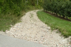
Nickle Farm belongs to FW Mansfield & Son and it is a big business, with many workers, mostly coming from Eastern Europe for the harvest. As I rode through the farm I got a little lost and asked for directions, but communication was a bit difficult. I eventually found the path, but when I saw the pebbles on the track up hill I got demotivated. That forced me to look for an alternative and after talking to another person in the farm he recommeded the path to Canterbury over Chartham village, alongside the Great Stour river, which isn’t really part of the original Pilgrims’ Way route (see where the yellow line and the red line disconnect on the map above).

The original route, on the walkers’ path and the guide will take you to the villeage of Chartham Hatch (yellow line), but I decided to override that. This was MY pilgrimage afterall and, personally, I take a river path over a single track lane any time. Again, it is probably not right for me do make recommendations over a path not taken, but I am glad I did ride to Canterbury alongside the river. The path is beautiful, very flat and very enjoyable, but you’ll have to divide it with a number of other cyclists and walkers (incl. dogs, children, etc). You’ll see magnificent river houses, trees and fields all the way to Canterbury. I think the video is much better at showing you this than I could ever put in words, but if you take the same path as I did you’ll be giving up the historical path of the pilgrimage.

The video includes some drone footage I filmed the NEXT day with Katy and some details about Canterbury with Katy’s voice. I hope you enjoy the bird’s eye view of Canterbury at the distance (at that point the Cathedral is about 3.5 km away).

Upon arriving in Canterbury, as it became the norm over these 4 days, the German TV crew was already waiting for me at the Westgate Towers for a quite intense session of filming. Honestly, I felt a bit like a movie star walking into Canterbury city centre being followed by TV cameras and a filming crew. A sensation that I wasn’t necessarily comfortable with due to all the attention it drew onto me… all for a good cause anyway.

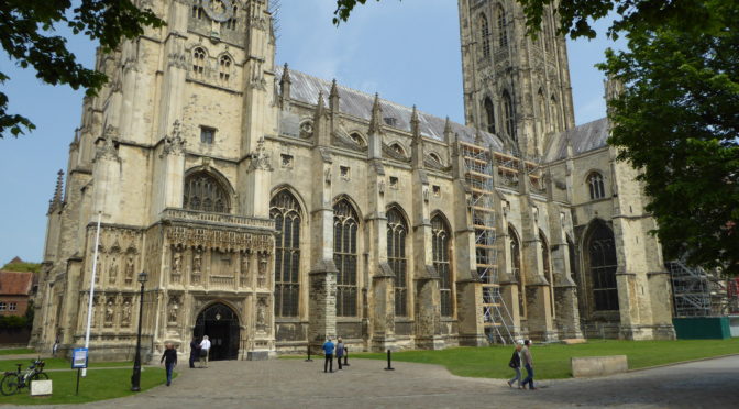
I should consider myself lucky they were there though. I did this pilgrimage during the times of the pandemic and if it wasn’t for the TV crew I am sure a few doors wouldn’t have been open to me. Upon arriving at the cathedral I was warmly greeted by canon Emma Pennington who received us and led us first into the cript of Saint Thomas Becket and then into the high altar where I received my final pilgrim’s blessing and where Katy sang at the end of the video.

In all fairness, I must warn you, the pictures you see in the video are from the next day though as the arrival at the cathedral and all the filming for the TV crew was quite intense. I didn’t really had a lot of time to film for myself, but the experience is the same. If you ever get to watch the documentary, the final footage of me (if included at all) might likely be an aerial / drone footage at the campus of the University of Kent riding into the sunset (quite moving really) onto another challenge.

This stage concludes the pilgrimage. I hope you enjoyed this short series of videos and posts about my Pilgrims’ Way pilgrimage by bike. To me these are memories I’ll take to the grave 🙂

The picture gallery below shows the pictures taken by me along this stage. Click on any picture to enlarge.

I hope you enjoy the video and the photos.

Back to Top

<- Previous Post (Day 3)    |

If you have any questions, don’t hesitate to comment or send me a message through the contact form.
Please subscribe to my Blog and/or to my YouTube channel if you don’t want to miss the next one and help me spread the word by liking and sharing my Facebook Page, Instagram and Tweeter feed also.
Thank you for your time!


Do you like these posts? Why, then, don’t you pay me a coffee to help with the blog hosting cost and as a caffeine incentive to keep me going through the long hours of the night? (Suggested amount: £2.00 or USD $3.00 or 2.50€ or whatever you want to give).
You may donate through my Patreon Page or through PayPal directly.

Become a Patron


Please rate this post by clicking on the desired star (1 = Awful, 5 = Excellent)
[Total: 0 Average: 0]

Canterbury nach Dover, National Fahrrad Route 16

Noch nicht auf Deutsch verfugbar

Wollen Sie mir helfen diesen Beitrag zu übersetzen? Bitte nehmen Sie Kontakt auf. Vielen Dank!

Please rate this post by clicking on the desired star (1 = Awful, 5 = Excellent)
[Total: 6 Average: 4.8]

Via Francigena... Spannende Nachrichten

Hallo Leute!

Entschuldigung für mein plötzliches Verschwinden. Ich bin gerade ganz beschäftigt auf meinem beruflichen und persönlichen Leben, so hatte nicht viel Zeit um auf EyeCycled.com zu arbeiten während der letzten 2 Wochen. Ich arbeite immer noch an den Beiträge und Videos von der Devon Coast to Coast Fahrrad fahrt (eher langsam obwohl).

Ich habe, aber, eine gute Nachricht zu mitzuteilen… Die Via Francigena Projekt ist bestätigt!

Meine Anfrage für einen längeren Urlaub wurde von der Firma genehmigt worden, und ich werde die Buchung meinen Rückflug von Rom nach dem UK in dieser Woche tuen.

Ich werde das UK von der Kathedrale von Canterbury am Samstag, 30. Juli verlassen und muss spätestens in Rom am 8. September ankommen, da mein Flug am 9. ist.

Dies ist eine sehr aufregende Entwicklung für mich und wird die längste Radtour meines Lebens sein. Ich werde einen Durchschnitt von 54 km pro Tag tun mussen, um die fast 2200 Kilometer von Canterbury nach Rom zu decken, aber ich denke, es kann getan werden, und ich freue mich schon sehr darauf.

Vielen Dank für eure Unterstützung und bleibt dabei für weitere Details.

Die offizielle Seite der Via Francigena ist hier: http://www.viefrancigene.org/de/

Please rate this post by clicking on the desired star (1 = Awful, 5 = Excellent)
[Total: 1 Average: 4]

Camino de Santiago, Tag 8: Von León nach Astorga

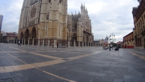
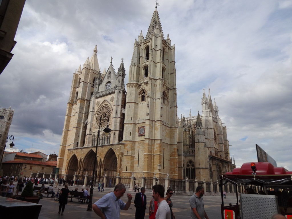
León's impressive Cathedral
Die beeindruckende Kathedrale von León

Herzlich willkommen zu meinem Post über den 8. Tag meiner Camino de Santiago Pilgerfahrt mit dem Fahrrad, die Route ist als Jakobsweg bekannt. Ich habe diese am 1. Juni 2015 gemacht und die Strecke von 50 Km dauerte 4 h und 35 Min, um von León nach Astorga zu fahren, wobei die reine Fahrtzeit 3h und 22 min betragen hat.

Ich verließ die Herberge, um 8:01 Uhr am Morgen und fuhr zur die Kathedrale. Ich brauchte nicht dorthin hin zu gehen, aber ich wollte einen letzten Blick auf die Kathedrale haben bevor ich die Stadt verließ. Als ich an der Kathedrale angekommen habe, sah ich ein Radfahrer Ehepaar die auf einer Karte schauten, und wenn ich ihnen näherte, erkannte ich dass sie auch aus Brasilien waren.

Leon Cathedral at 10 past 8 in the morning.
Leon Kathedrale um 10 nach 8 Uhr morgens.

Marcelo und Alice sind von einer Stadt in Brasilien namens Recife, die Hauptstadt des Bundesstaates Pernambuco, und waren auch auf dem Camino de Santiago. Wir unterhielten uns für ein paar Minuten und verlassen den Platz der Kathedrale zusammen, um zu versuchen unseren Weg aus der Stadt zu finden.

5 Star Hotel Parador in León, for Pilgrims with a lot of cash.
5-Sterne-Hotel Parador in León, für Pilger mit einer Menge Geld.

Ich hatte keine Ahnung, dass wir alle zusammen in Santiago de Compostela angekommen wurden. Unsere Freundschaft begann an diesem Punkt, und dauert bis heute dank dem Internet.

León ist eine ziemlich große Stadt und es hat uns gedauert ca. 1 Stunde und 20 Minuten nach La Virgen del Camino zu fahren, dass eigentlich immer noch Teil der Metropolregion León ist und in unmittelbarer Nähe zum León’s Flughafen. Wir stoppten an einem Platz namens Cafeteria Miravalles zum Frühstück. Etwa 50 Minuten später waren wir wieder auf unsere Fahrräder und fuhren weiter auf der bereits bekannten N-120 Straße. Wir fuhren auf der N-120 den ganzen Weg nach Astorga an diesem Tag.

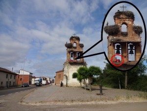
This Pilgrim slept with the birds.
Diesen Pilger hat mit dem Vögeln geschlafen.

Als wir in der Gemeinde Valverde de la Virgen ankamen sahen wir was interessantes. Spanien ist mit alten Glockentürmen (vielleicht nicht der beste Begriff) gefüllt. In vielen von denen wird ihr Weißstörche Nester finden. In diesem besonderen Glockenturm beschloss sich ein Pilger da zu übernachten und mit den Vögeln zu schlafen.

Stork's Nest in Hospital de Órbigo.
Storchennest in Hospital de Órbigo.

Einige Pilger campen die gesamte Pilgerfahrt Herberge, Hotels oder so was zu benutzen (besondere die jenen die Tiere bringen). Ich weiß nicht, ob das der Fall war für diese bestimmte Pilger ist, aber ich dachte, dass er ein sehr interessanter Ort zum Schlafen gewählt hatte, wenn er es geschafft Schlaf zu bekommen.

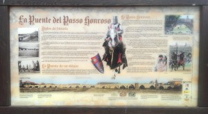
The bridge of the honoured step (La Puente del Passo Honroso), Hospital de Órbigo
Die Brücke der Ehre Schritt (La Puente del Passo Honroso), Hospital de Órbigo

Nach Valverde de la Virgen fuhren wir durch mehrere Dörfer wie San Miguel del Camino, Villadangos del Paramo und San Martín del Camino bis wir bei einem weiteren Wahrzeichen der Camino angekommen sind in der Kleinstadt “Hospital de Órbigo“, sie seinen Namen der alten Pilgerkrankenhaus verdankt:

Medieval Bridge over the River Órbigo.
Mittelalterliche Brücke über den Fluss Órbigo.

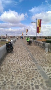
Die 13. Jahrhundert mittelalterliche Steinbrücke über den Fluss Órbigo. Die Brücke scheint für den Fluss viel zu groß zu sein, aber vor dem Bau des Stausees Barrios de Luna, hatte der Fluss eine große Strömung. Es verfügt über 19 Bögen und ist ziemlich gut erhalten.

Wir haben einen kleinen Boxenstopp nach der Brücke gemacht für etwas Ruhe und Wasser und ging gleich weiter zurück auf die N-120. Der Rest des Weges nach Astorga war relativ ereignislos.

Bridge over the River Órbigo (the Honourable Step Bridge)
Brücke über den Fluss Órbigo (Die Brücke der Ehre Schritt)

Als wir in Astorga ankam, Marcelo und Alice beschlossen sich gleich in der Städtischen Herberge zu bleiben, und ich ging in die Innenstadt, um Fernando zu finden. Wir hatten vereinbart, dort treffen und gemeinsam fahren am nächsten Tag. Nachdem ich Fernando fand, ging wir zurück zu der Herberge und haben wir einem Zimmer bekommen in der gleichen Etage Marcelo und Alice waren.

Astorga's Municipal Hostel
Kommunalen Herberge von Astorga

Ich empfehle diese Herberge. Die Übernachtung ist 5 € und es ist sauber und gut organisiert. Die meisten Zimmer haben nur 2 Etagenbetten (oder 4 Betten) und wir haben das Zimmer mit 2 Pilger aus Deutschland geteilt. Sei bereits mehrere Treppen hoch zu laufen müssen, wenn du, wie wir, auf der oberen Etage bleibst (die Fahrräder bleiben im Keller). Die Aussicht von unserem Zimmer, allerdings, war super. Die Herberge hatte eine voll ausgestattete Küche und ein Waschraum mit einer großen Wäscheleinen draußen auf den hinteren Garten.

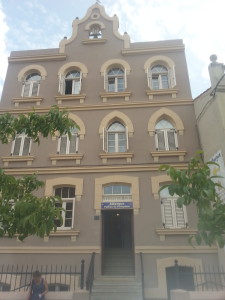
Town hall of Astorga
Rathaus von Astorga

Nach einer Dusche verließen wir die Herberge, um die Stadt zu erkunden. Was für ein großartiger Ort, mit einem besonders interessanten Architektur. Ich weiß, ich schrieb dies bevor, aber Astorga fühlt sich wie eine große, kleine Stadt und hat eine sehr lange Geschichte.

Astorga's Cathedral
Die Kathedrale von Astorga.

Zum Beispiel, Astorga ist 875 Jahre älter als León. Laut Wikipedia, Artefakte wurden in der Umgebung von Astorga gefunden die von seit 2750 vor Chr. datiert sind. Die lokalen Kelten, die sich die Astures und dem Cantabri nannten, bewohnten das Gebiet um ca. 275 vor Christus und später ca 146 BC wurde Astorga einer der römischen Hochburgen in der Region die sie Asturica genannt hat.

Astorga ist nicht nur für ihre Kathedrale bekannt, wie in vielen spanischen Städten, sondern auch für den Bischofspalast von Astorga.

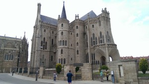
Episcopal Palace of Astorga
Bischofspalast von Astorga

Das Gebäude wurde bei Gaudi entworfen und teilweise gebaut, denselben Architekten, der die berühmte Kathedrale Sagrada Familia in Barcelona entworfen hat. Es beherbergt heute zu Tage ein Museum für religiöse Kunst namens “Museo de los Caminos”, auf dem Camino de Santiago gewidmet.

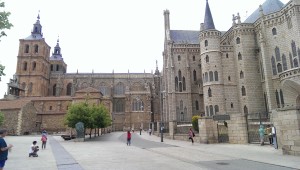
Cathedral and Epicopal Palace of Astorga
Kathedrale und Bischofspalast von Astorga

Als wir in der Stadtmitte waren, die 4 von uns, Fernando, Marcelo, Alice und ich, haben uns entschlossen, nicht in einem Restaurant zu essen, sondern die Lebensmittel zu kaufen und in der Küche der Herberge zu kochen. Marcelo ist der Küchenchef und Besitzer von mehreren bekannten Restaurants in seiner Heimatstadt, und natürlich ein ausgezeichnete Koch. Wir hatten eine tolle Zeit mit der Vorbereitung unseres Abendessen und mit den anderen Pilger die da waren, alles begleitet mit guten galicischen Wein.

Nun, das war es für Tag 8.  Ich bitte euch Kommentare oder Fragen zu verfassen oder zumindest kurz mitzuteilen, ob du es magst oder nicht. Dazu einfach auf die Sterne am unteren Rand der Post klicken!

<< Vorheriger Tag                                                                          Nächster Tag >>

Please rate this post by clicking on the desired star (1 = Awful, 5 = Excellent)
[Total: 9 Average: 4.3]

Camino de Santiago, Tag 7: Von Calzadilla de la Cueza nach León

Municipal Hostel in Calzadilla de la Cueza
Die städtische Herberge von Calzadilla de la Cueza

Herzlich willkommen zu meinem Post über den 7. Tag meiner Camino de Santiago Pilgerfahrt mit dem Fahrrad, die Route ist als Jakobsweg bekannt. Ich habe diese am 31. Mai 2015 gemacht und die Strecke von 81 km  dauerte 6 h und 24 Min , um von Calzadilla de la Cueza nach León zu fahren, wobei die reine Fahrtzeit 5h und 16 min betragen hat.

Ich verließ die Herberge  an diesem Morgen wie üblich kurz nach 08.00 Uhr . Die ersten 18 km auf der N-120 Straße waren ereignislos. Ich bin durch kleine Dörfer und Städte wie Ledigos, Terradillos de los Templarios, San Nicolas del Real Camino in einem einigermaßen guten Tempo gefahren. Kurz vor Sahagún, habe ich allerdings einen Fehler gemacht, der mich immer noch verwirrt.

About 2 Km from Sahagún. Immediately after crossing the river Valderaduey.
Auf der N-120, ca. 2 Km von Sahagún. Sofort nach dem Überquerung des Flusses Valderaduey.

Als ich auf der N-120 fuhr, nahe Sahagún, kurz nach der Überquerung des Flusses Valderaduey, sah ich eine der typischen gelben Pfeile, die die Pilger zu Fuß nutzen, und so beschloss ich die Straße zu verlassen und den Weg des Pilgers zu nehmen.

Stone bridge leading to the Ermita de la Virgen del Puente. Can you see the clear yellow signs?
Steinbrücke, die zur Ermita de la Virgen del Puente fürht. Kannst du die klare, gelbe Pfeile sehen?

Wenige Meter später kam ich zu einer kleinen Brücke und da sah ich wieder die gelbe Pfeile, die zu einer kleinen Kapelle (der “Ermita de la Virgen del Puente“) hinter der Brücke hingewiesen haben.

Ich weiß nicht, was mich dazu bewegte, die Zeichen zu ignorieren und einfach weiter geradeaus fahren. Dieser Fehler kostete mich 35 min und  zusätzliche 7,28 Km, was nur etwas 2 Km hätten sein sollen, wäre ich auf der N-120 weiter gefahren.

A mistake with a nice view.
Ein Fehler mit einem schönen Blick. Mohnblumenfeld.

Das ist ein Beweiss, dass wenn man sich zu die Gedanken verliert während auf einer Pilgerfahrt und nicht darauf achtet wohin es geht, bezahlt man später mit den eigenen Kräften . Es gibt, aber, keine Fehler die man nicht korrigieren kann, so dass, sobald ich merkte das ich war auf dem falschen Weg war, fuhr ich zurück nach Sahagún auf der LE-6707. Leider gab es keinen Eintrittspunkt zurück auf die N-120, so war es etwas unglücklich, dass ich in den Außenbezirk von Sahagún fahren musste.

Dies war bei weitem nicht der größte Fehler, den ich auf dem Camino gemacht habe (mehr dazu in späteren Posten), aber ich musste mich über mich selbst ärgern.

Also, wenn du die GPX-Datei runterladest mit der Absicht, es zu benutzen, in deiner Pilgerfahrt, macht dir bitte eine mentale Notiz, dass, wenn du den Fluss Valderaduey überquerst, dann sollst du weiter auf der N-120 fahren. Wenn du zu Fuß bist empfehle ich den gelben Pfeilen zu folgen, um die Straßen zu vermeiden.

Via Trajana. Pilgrim's resting place amongst the trees to the right.
Via Trajana. Pilgerrastplatz unter den Bäumen auf der rechten Seite.

Wieder auf der N-120, ca. 5 km später verließ ich die Straße Richtung Calzada del Coto. Nachdem ich das Dorf durchquert habe nahm ich eine Schotterstraße, welche Google Maps als Via Trajana identifizierte. Von diesem Zeitpunkt an gab es keine Asphaltstraßen Alternativen, da sich die N-120 nach Süden  wendet (und Leon ist im Norden), und es ist mit dem Fahrrad oder zu Fuß verboten die Autobahnen zu nutzen (die A-231 Autobahn verläuft parallel zur via Trajana ein paar Kilometer südlich).

Ca. 9 km später um 11 Uhr erreichte ich ein Dorf namens Calzadilla de los Hermanillos und hielt für ein spätes Frühstück oder am frühen Mittag, wie es sicher auch bezeichnet werden kann.

After Calzadilla de los Hermanillos in the direction to Reliegos.
Nach Calzadilla de los Hermanillos in Richtung Reliegos.

Nach Calzadilla de los Hermanillos fuhr ich für weitere 4 km auf Asphalt (allerdings nicht sehr gut) bis zu einem Punkt, wo die Straße die LE-6620 kreuzt und dann weitere 14 km auf einem Schotterweg bis hin zu einem Dorf namens Reliegos.

Dirt road littered with stones.
Schotterstraße mit Steinen übersät.

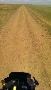
Diese 14 Km waren für mich etwas herausfordernd, weil die Sonne sehr stark schien und die Steine auf dem Weg schüttelten das Fahrrad  die ganze Zeit durch. Dies zwang mich die Seite  von rechts nach links und umgekehrt sehr oft zu wechseln. Es war  einer dieser Momente, wo ich für ein paar Sekunden eine Pause gemacht habe um darüber nach zu denken, wie sehr mein Leben (oder sogar unser aller Leben?) diese Situation widerspiegelt. Wir sind immer auf der Suche nach dem einfachen Weg, einen Weg mit wenigen Steinen. Ich beschloss dann, diese Gedanken in einer Sprachaufnahme zu erfassen, ursprünglich mit der Absicht, darüber zu schreiben, aber ich habe mich entscheiden, mit dem schreiben etwas auszusetzen und die Aufnahme mit euch zu teilen. Ich hoffe, dass ihr mich deshalb nicht für einen Dummkopf haltet, um so etwas zu tun. Es gab mehrere Momente auf dieser Pilgerfahrt in denen ich mich gerührt fühlte und das war nur einen von diesen (Video auf Englisch).

Wild Poppies on the streets of Reliegos.
Wilder Mohn auf den Straßen von Reliegos.

Nach Reliegos, die restlichen 24 Km nach León waren komplett auf gutem Asphalt auf der LE-6615 und alle ziemlich flach, aber ich war müde von all dem Schütteln der letzten 14 Km. Es dauerte etwas mehr als 2 h um León zu erreichen.

In León habe ich im Albergue del Monasterio de las Benedictinas (Carbajalas) übernachtet, die 5 € pro Nacht kostet und sehr einfach ist. Die Herberge wird von Freiwilligen gepflegt und du musst einen Pilgerpass haben um bleiben zu können. Es ist  ein langer Raum mit Schlitzen von 6 Etagenbetten auf der linken Seite durch dünne Kunststoffwände getrennt.

Pilgrims's resting place near Mansilla de las Mulas
Pilgerruhestätte in der Nähe von Mansilla de las Mulas

Die Herberge hat 132 Betten (66 Etagenbetten) und die Anzahl der Bäder erschien nicht ausreichend zu sein. In Bezug auf die Hygiene war es auch nicht die beste, meiner Meinung nach, aber es war OK. Wenn du nach eine Steckdose suchst, um deine elektronischen Geräte (Telefon, etc.) zu laden, viel Glück. I habe keine in der Nähe zu meinem Bett gefunden und der Ort, irgendwie hatte ich kein Vertrauen um meine Sachen einfach unbeaufsichtigt zu lassen. Es gab Wi-Fi außen im Empfangsbereich, aber kein Wi-Fi im Zimmer. Es gab auch keine Schließfächer oder sichere Orte, wo man die Sachen lassen konnte, aber (trotz meines Misstrauens)  habe ich kein Probleme gehabt (es fehlte nichts am Morgen).

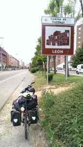
Arrival in León
Ankunft in León.

Mein Abendessen war im Restaurant in der “Hospedaria”, das um 7 Uhr öffnete. Das Pilger Menü war 9 € und das Essen war ok (also nicht außergewöhnlich ).

Bevor dem Abendessen lief ich um das Stadtzentrum für ca. 2h.

Pilgrims' Menu
Pilger Menu.

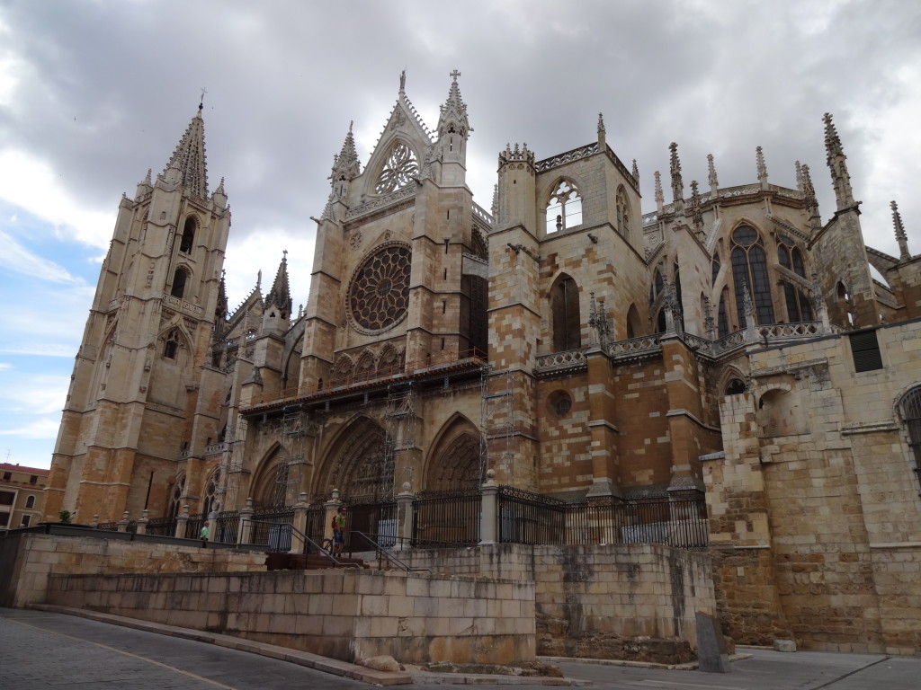
León ist ein toller Ort. Ich fühlte mich dort gut. Sehr interessante gotische Architektur und vielen Blumen. Ich bin um den Dom gelaufen, aber ich bin nicht in die Kathedrale reingegangen, da ich dachte, dass ich nicht in einer respektvollen Weise gekleidet war als die Messe gerade anfangen war, aber von außen sieht sie in jeder Hinsicht sehr beeindruckend aus.

Ich werde ein paar Bilder von meinem kurzen Spaziergang in der Stadt an der Unterseite der Post hinzufügen. Das nächste Video sind die  Dom Glocken wenn sie die Gläubigen für die Masse rufen.

Nun, das war es für Tag 7.  Ich bitte euch Kommentare oder Fragen zu verfassen oder zumindest kurz mitzuteilen, ob du es magst oder nicht. Dazu einfachauf die Sterne am unteren Rand der Post klicken! Manchmal habe ich das Gefühl, ich verliere meine Zeit hier, aber ich genieße die Möglichkeit, in meine Gedanken, in die Zeit zurück zu reisen und nochmals die wunderbaren Momente auf der Camino zu erleben.

Photos of León

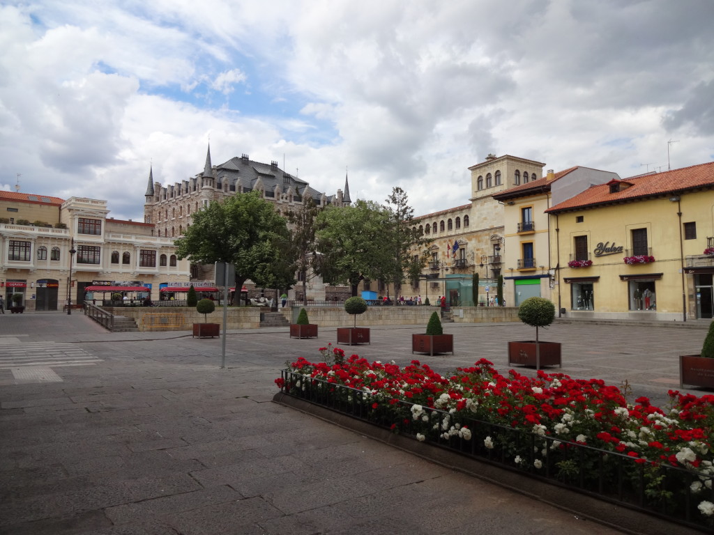
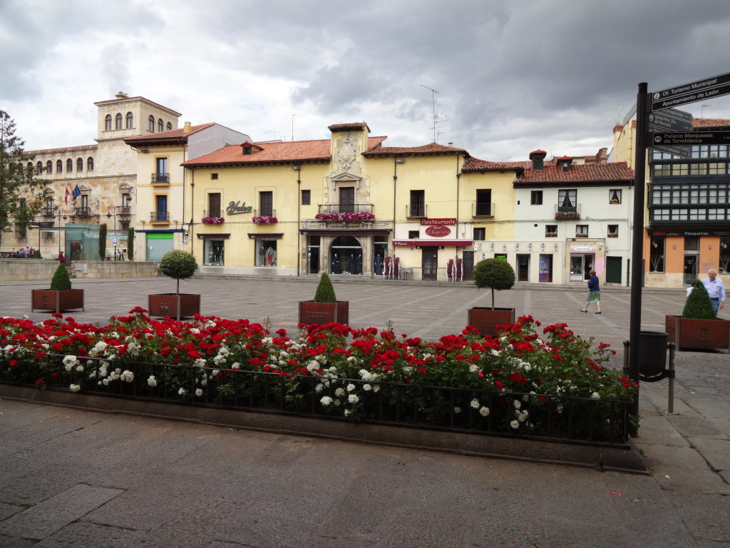
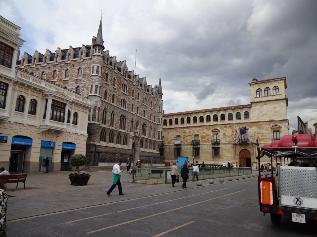
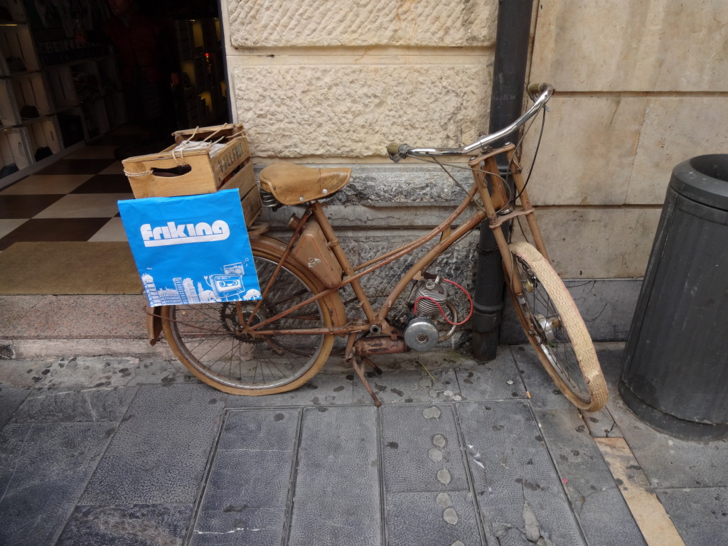
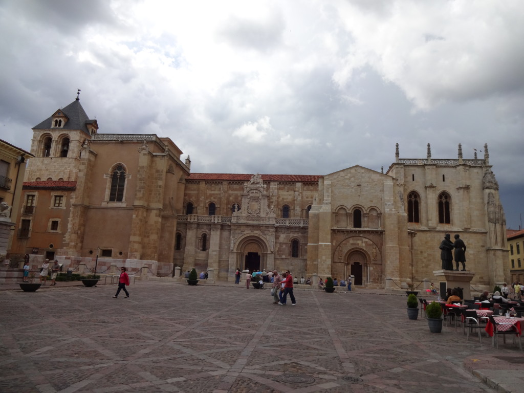
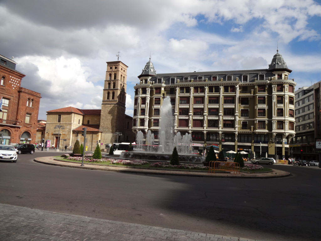
Old city wallsAlten Stadtmauern Plaza Sta Maria del Camino.Plaza Sta Maria del Camino. Where to?Wohin? Plaza San MarceloPlaza San Marcelo Plaza San Marcelo Plaza San Marcelo 3D map of León3D-Karte von León. The Botines Building. Designed by Gaudi.Das Botines Haus. Designed by Gaudi. Before e-Bikes there were petrol head bikes.Bevor E-Bikes gab es benzin Fahrräder. León's impressive CathedralDie beeindruckende Kathedrale von León. 10 to 610 vor 6. Right side of the CathedralRechten Seite der Kathedrale. Basilica de San IsidoroBasilica de San Isidoro Water Fountain at the Plaza de Santo DomingoWasser-Brunnen auf der Plaza de Santo Domingo. CuteSüße Mädchen. Wonder how they taste Frage mich, wie sie schmecken.

<< Vorheriger Tag                                                                          Nächster Tag >>

Please rate this post by clicking on the desired star (1 = Awful, 5 = Excellent)
[Total: 8 Average: 4.4]