Tag Archives: Wales

Via Beata 11+, St Davids: The Man, the City and the Cathedral

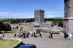
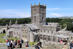
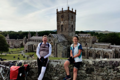
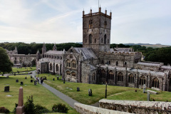
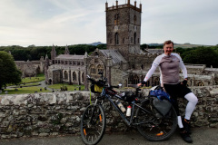
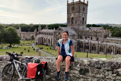
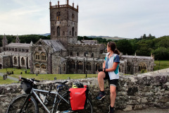
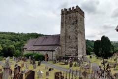
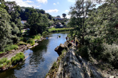
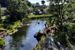
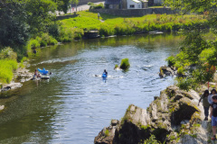
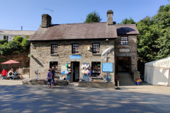
This is the 12th and last post on a series about the Via Beata pilgrimage. In this post we explore the tranquil countryside surrounding St Davids, reflect on the final leg of the adventure, and celebrate the completion of the Via Beata series. It also dives into the story of St Davids: The man, the City and the awe-inspiring Cathedral that marks the end of our journey.

This post has been written in English only. For other languages, please use the Google Translation drop-down option on the right menu (desktop version).
<- Previous Post (Day 10)   |

In This Post:

  1. Promote the “bonus” video to the Blog.
  2. The map showing the full Via Beata route.
  3. Walk from St Davids Cathedral to Whitesands Beach (Map)
  4. Circular walk from St Davids Cathedral to the Ruins of St Non (Map)
  5. St Davids: The Man, the City and the Cathedral. 
  6. Provide links to useful online resources in case you want to learn more about the topics in this post (or Video)
  7. Provide a communication channel to enable readers and interested parties to ask questions or drop us a message through the blog.

 1. The “Bonus” Video

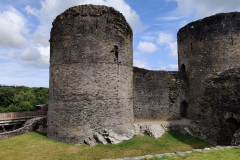
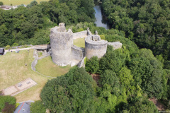
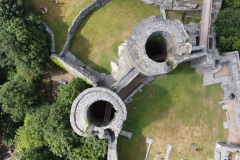
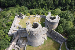
The  28 min long video below was created as a bonus to the Via Beata series to show the beauty of St Davids and its surroundings. The images and videos that were used in the video were taken/recorded between the 4th and the 7th of August 2021.

Back to Top

 2. The map showing the full Via Beata route.

I created 3 Google Maps for the Via Beata series. The 1st one was introduced to you on the Via Beata introduction post and I added it below again for your convenience. For more details please re-visit the introduction post where you will also be able to download the GPX file for the entire route.

The other two entitled “St Davids Cathedral to Whitesands Beach” and “Circular walk from St Davids Cathedral to the Ruins of St Non” are our 1st and 2n day walks respectively.

As the items in the map don’t appear to be clear, I’ve add a little picture below that might help.

Simply Instructions for the map below.

Back to Top

 3. Walk from St Davids Cathedral to Whitesands Beach

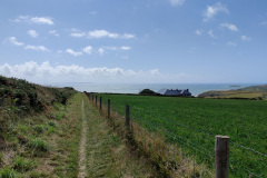
For those who want to walk or ride the Via Beata or a similar route from East to West as a Coast to Coast adventure, this map shows the small 2.88 Km or 1.79 miles route from the cathedral to Whitesands beach, the largest and best known beach around St Davids (but not the only one). This would also be an amazing place to end your journey, or if you prefer to start it there and do it in the other direction from West to East. We are aware of a couple of cyclists who choose to do it this way.
In the interest of full disclosure we walked to Whitesands on this day from our hotel, but I’ve created a map as if we had walked from the cathedral, which, on our walk back we did. This is an easy walk with barely any elevation at all, but when you walk back you’ll have to go up a little hill from sea level to reach St Davids again. Keep in mind that on a nice day like this day these narrow roads can be quite busy given Whitesands beach is quite popular among visitors as you’ll see in the pictures and video.
I recommend you watch the video above for a detailed description of the walk.
On this day we actually walked a little further to a beach called Porthmelgan Beach. It was in Porthmelgan Beach that Katy jumped on the water as she was very keen to swim on the north sea in the East and on the Irish Sea in the west.

Simply Instructions for the map below.


You can see some of the pictures of this walk through the Map itself, but for convenience I’ve added below a gallery with all pictures Katy and I took of this walk.

Click on the thumbnail to expand picture and read about that moment. The navigation numbers below each gallery refer to the number of viewable pages in the gallery. Where possible I provided some context in every picture taken. These pictures are not to be sold or used without prior consent.

If you read to this point, I’d like to invite you to donate us a coffee for this work. We don’t sell the information, nor get any money through monetising or advertisement at the moment, so donations are this blog’s only source of income. If enough money is obtained through your generous donations that will enable us to pay for the renewal of EyeCycled.com, the hosting of the information and as a added motivation for us to keep doing this. We are very thankful for anything you can spare.

Back to Top

 4. Circular walk from St Davids Cathedral to the Ruins of St Non

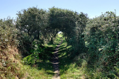
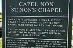
The walk on the 2nd day was a little more demanding and long. It was a total distance of 13.7 Km or 8.51 miles mostly on the coastal path. The main intention of this walk was the visit the ruins of St Non’s Chapel, which is considered to be the birthplace of St David the patron saint of Wales. St Non (or Nonita) was his mother. Tradition holds that Nonita was raped by one of the princes of the country and that the product of that rape was David. It’s said that after conceiving she remained celibate and lived on bread and water alone. When a preacher found himself unable to preach in the presence of her unborn child, this was taken as a sign that the child would himself be a great preacher. I’ll leave a link to the St Nons Wikipedia page in the description below if you’re interesting in knowing more.
This time we did start and end the walk at the cathedral. I recommend you watch the video above for a detailed description of the walk.

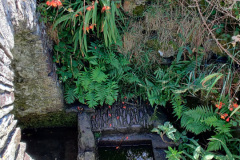
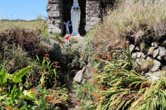
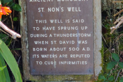
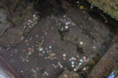
Before you reached the ruins you will walk passed the Holy Well of St Non. The well is said to have sprung up during a thunderstorm when St Davids was born about 500 A.D. The water of holy wells is often thought to have healing qualities, through the numinous presence of its guardian spirit or Christian saint. I don’t think you can purchase the healing by throwing coins in the well though, but these would be pennies well spent if it works for you.
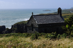
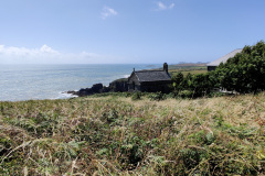
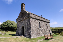
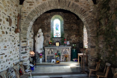
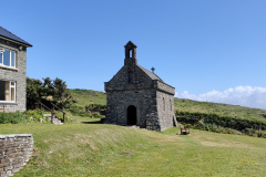
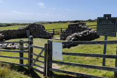
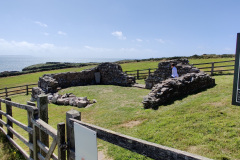
The ruin of the Chapel of St Non are just a few steps further down the track and it is held by tradition to mark the birthplace of St David, although the ruin cannot be accurately dated. The ruin is thought to be on the site of St Non’s house and to be one of the oldest Christian buildings in Wales. In medieval times the chapel was one of the main sites visited by Christian pilgrims. Following the Protestant Reformation, pilgrimages stopped and the chapel was converted into a house before being used as a garden.

After the visit to the ruins our walk continued on the coastal path until we reached the RNLI St Davids Lifeboat Station where we thought we had walked enough and decided to walk back into town.
Along the walked we passed Porthclais Harbour with its many private boats anchored and the ruins of the old Limekilns from which between 1650 and 1900 Lime was taken by horse and cart for spreading on the fields and a little was used for mortar.
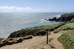
This walk was on the 5th of August 2021. Since I was never a resident of Wales I can’t really tell you if the weather you see in the pictures and video is normal for this time of the year and if the vegetation shown is always present at this time, but I can tell you and that the colours are amazing, although without a doubt the pictures don’t do it justice.

Simply Instructions for the map below.

I hope these 2 walks were interesting enough to instil in you a desire to visit St Davids and do the same yourself.

You can see some of the pictures of this walk through the Map itself, but for convenience I’ve added below a gallery with all pictures Katy and I took of this walk.

Click on the thumbnail to expand picture and read about that moment. The navigation numbers below each gallery refer to the number of viewable pages in the gallery. Where possible I provided some context in every picture taken. These pictures are not to be sold or used without prior consent.

The series of Blog posts and videos were the result of hundreds of hours of hard work. We didn’t do this with the objective of making any money out of it, but if they are useful to you and you’d like to recognise the value of this work, please consider sponsoring EyeCycled.com or providing a one-off donation to keep the blog going.  

Back to Top

 5. St Davids: The Man, the City and the Cathedral
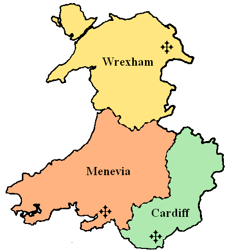
The diocese of Menevia was a Latin Church diocese of the Catholic Church in Wales.

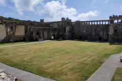
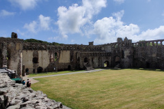
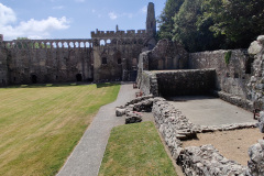
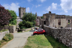
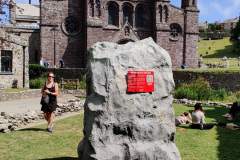
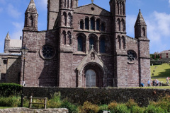
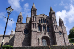
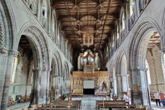
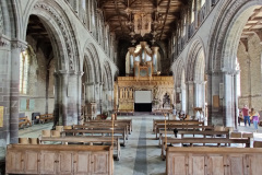
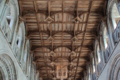
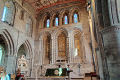
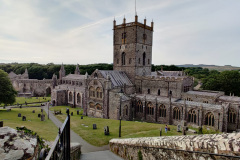
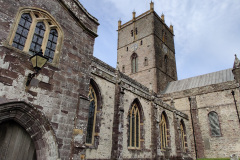
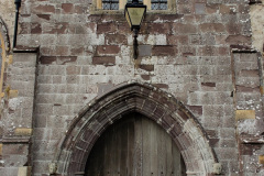
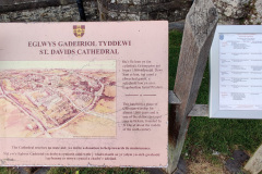
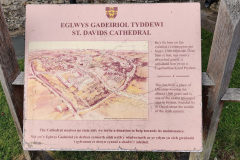
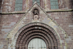
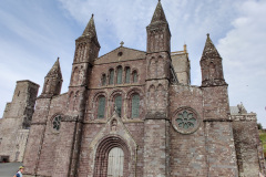
Despite of all the coastal beauty above, St Davids Cathedral is quite possibly the biggest attraction of the city of St Davids, which is said to be the smallest city in the UK. I don’t think, however, it is possible to speak about the cathedral without writing something about the man and the city 1st.
David was a native of Wales and a Welsh Christian who served as the Bishop of Menevia (which was name given to this region by the Romans). Menevia was a Diocese that covered an area of 9,716 km2 in the west of modern day Wales.
His birth date is uncertain, but believed to be between 462 and 512. He is believed to be the son of Non and the grandson of Ceredig ap Cunedda, king of Ceredigion. He is also believed to have died in 601 by more recent estimates.
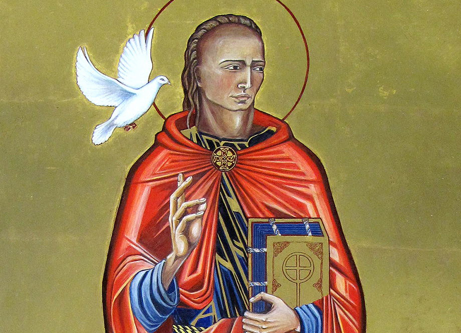
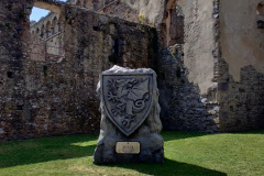
Image of St David

Much of what is known about St David is from a biography by Rhygyfarch written in 1090, but modern historians are sceptical of some of its claims. He became reno

wned as a teacher and preacher, founding monastic settlements and churches in Wales, one of which was a monastery which later became the city of St Davids and where the current cathedral stands today.
His best-known miracle is said to have taken place when he was preaching in the middle of a large crowd and the ground on which he stood is reputed to have risen up to form a small hill. A white dove, which became his emblem, was seen settling on his shoulder. This is ironically referred as the most superfluous miracle as Wales is already a very hilly place.

David was buried at St David’s Cathedral where his shrine became a popular place of pilgrimage throughout the Middle Ages.

The monastic community which became St Davids and where the cathedral stands today was attacked many times by raiders, including the Vikings so the area saw the erection and destruction of many buildings over the centuries. It wasn’t until In 1115, with the area under the Norman control of King Henry I of England, that Bishop Bernard of St Davids started the construction of a new cathedral. In 1123, Pope Calixtus II made St Davids a centre of pilgrimage and decreed that “Two pilgrimages to St Davids is equal to one to Rome, and three pilgrimages to St Davids is equal to one to Jerusalem”. I am not sure if this decree still stands today, but in 2016 I did my own 2,000 Km pilgrimage from Canterbury to Rome and I can tell you from my own experience that these are quite different.

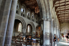
The present day cathedral was begun in 1181 and completed not long after. Problems beset the new building and in 1220 the new tower collapsed. In 1247 or 48 the cathedral also suffered damage due to an earthquake.

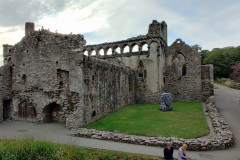
Many unfamiliar with the history of the United Kingdom may not know that there was a period in time in which the monarchy was destitute of power and the country was ran as a republic called the Commonwealth of England under Oliver Cromwell which greatly affected many cathedrals and churches, and this was particularly felt in St Davids. The cathedral was all but destroyed by Cromwell’s forces and the lead was stripped from the Bishops Palace roof of which today only the ruins remain just outside the Cathedral’s grounds.
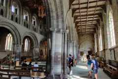
There is a pronounced slope to the floor of the cathedral, amounting to a height difference of nearly four metres between the east and west ends, and the building is still shifting minutely.
In more recent decades the cathedral underwent a number of restoration and reconstruction projects, which included creating a visitor centre within the bell tower, enlarging the peal of bells from eight to ten and the completion of the cathedral’s cloisters to house the cathedral choir, vestries, an education suite, rooms for parish use and a refectory as a reminder of the monastic beginnings.

St Davids is considered to be the United Kingdom’s smallest city by population with 1,751 residents in 2021 in the city and urban areas. St Davids was given city status in the 12th century, but lost this status in 1886. In 1994 the city status was restored at the request of the late Queen Elizabeth II.
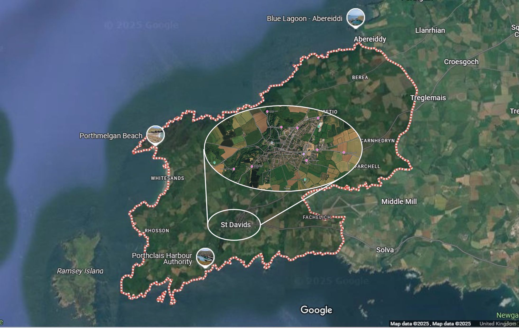
St Davids Borders and City

You can learn a lot more about St Davids: The man, the cathedral and the city by visiting some of the links I’ll leave in the resources section below.

The gallery below contains every picture Katy and I took of the cathedral (mostly) and the city.

Click on the thumbnail to expand picture and read about that moment. The navigation numbers below each gallery refer to the number of viewable pages in the gallery. Where possible I provided some context in every picture taken. These pictures are not to be sold or used without prior consent.

Back to Top

 6. Useful online resources for deepening your knowledge on the topics presented in this post.

All links open on a new window or tab.

#Resource LinkDescription
1Whitesands BeachWhitesands Beach Page in VisitWales.com
2Whitesands Beach (Wikipedia).Whitesands Bay (Welsh: Porth Mawr) is a Blue Flag beach situated on the St David's peninsula in the Pembrokeshire Coast National Park, Wales.
3Carn Llid (Wikipedia)Carn Llidi is a 594 feet (181 m) rocky hill east of St David's Head in Pembrokeshire, Wales
4Porthmelgan BeachPage about Porthmelgan Beach on the Visit Pembrokeshire webpage.
5St Davids Cathedral (Wikipedia)Wikipedia Page about the St Davids Cathedral
6St Davids Cathedral own webpageSt Davids Cathedral own webpage
7St Davids Cathedral TimelineThe page belongs to the Cathedral's webpage above, but I thought leaving a direct link here would be convinient.
8St Davids Cathedral in Project Gutenberg.This page contains the history of the cathedral and some interesting old pictures , some of which were used in the video.
9David, the saint (Wikipedia)Wikipedia page about St David, the man, the saint.
10St Non (Wikipedia).St Non (or Nonita) was David's Mother.
11Chapel of St Non (Wikipedia)The Chapel of St Non is held by tradition to mark the birthplace of St David.
12Porthlcais HarbourPorthlcais Harbour page on the Visit Pembrokeshire webpage.
13RNLI St DavidsSt Davids Lifeboat Station

Back to Top

 7. How to get in touch with us

The easiest way is to use the form below and send us a message, but you can also leave comments both here as well as in YouTube or our social media accounts. Keep in mind we do this as a hobby, not as a job, so our responses might be delayed. We aim to provide a response within a week, but it can happen that we are travelling or otherwise unavailable for longer than that. If you didn’t receive a response within 2 weeks, but send us a follow-up message. 

Name

Back to Top

<- Previous Post (Day 10)   |

Do you like these posts? Why, then, don’t you pay me a coffee to help with the blog hosting cost and as a caffeine incentive to keep me going through the long hours of the night? (Suggested amount: £2.00 or USD $3.00 or 2.50€ or whatever you want to give).
You may donate through my Patreon Page or through PayPal directly.

Become a Patron


Please rate this post by clicking on the desired star (1 = Awful, 5 = Excellent)
[Total: 0 Average: 0]

Via Beata: Day 10, from Llechryd to St Davids Cathedral, Wales (65 Km)

This is the 11th post on a series about the Via Beata pilgrimage by bike concluded on the 3rd of August 2021.

This post has been written in English only. For other languages, please use the Google Translation drop-down option on the right menu (desktop version).
<- Previous Post (Day 9)   |    Next Post (Day 11+) ->

In this post:

  1. Promote the cycling video for this day of the journey.
  2. Provide an overview of the route and allow for the download of a “cleaned-up” version of the GPX track we rode on this day of the journey’s.
  3. Provide the link to the written account for this day of the journey in Katy’s Blog.
  4. Provide the gallery of photographs that Katy and I took on this day of the journey. 
  5. Provide links to useful online resources about this day of the journey.
  6. Provide a communication channel to enable readers and interested parties to ask questions or drop us a message through the blog.

 1. The Video for this day of the journey

The  31m 48s video below was recorded between Tregaron and Llechryd on the 3rd of August 2021.

Back to Top

 2. The route we cycled on this day of the journey

The map below shows a “cleaned-up” version of our route between Lowestoft and East Harling on this day. By “cleaned-up” I mean, where I considered necessary, I edited the “real-life” track to exclude some of the mistakes or issues we encountered along the way, such as navigation errors, closed gates or other impassable obstacles (with a bike), etc. The objective being to prevent you from making these same mistakes or benefiting from the experience we acquired while riding on this route. Keep in mind everything changes… life is dynamic, roads and paths are closed for maintenance or become impassable for a number of reasons, access to certain locations may become restricted, etc. Use it at your own risk.

Download file: W-VB10 - Llechryd to St Davids.gpx

In addition to the raw GPX route shown in the map above, which you may download through the link below the map, I have also created a Google Maps version of the entire route in the EyeCycled Google Account.

To visualise the Google Map of the Via Beata route and main Waypoints please click on the link below (opens in a new tab).

https://www.google.com/maps/d/edit?mid=1mKIjBROBR1o6IiHTRx0Mh6dNUSpa7oc&usp=sharing

Back to Top

 3. Katy’s written account of the day

Please click on the picture below to be taken to her blog post.

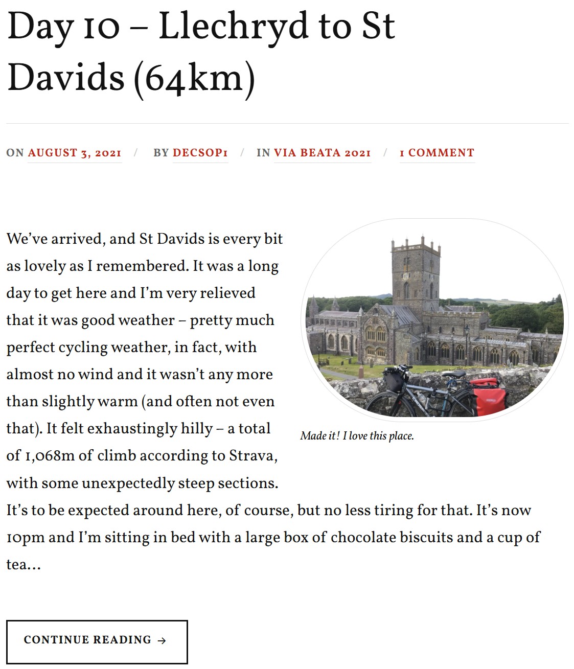
Katy's Day 10 Blog Post
Katy’s Day 10 Blog Post

Back to Top

 4. Photo-Gallery

A picture is worth a thousand words.

These are the pictures we took on this day of the journey. Where possible we provided some context in every picture taken. These pictures are not to be sold or used without prior consent.

Click on the thumbnail to expand picture and read about that moment. The navigation numbers below each gallery refer to the number of viewable pages in the gallery.

Day 04 Photos (Fourth day of the 10 days journey)

Back to Top

 5. Links to useful online resources for this day of the journey.

We are giving you our experiences here for free, but it is up to you if you want to replicate them or not. Each journey is different and you may want to plan a custom one for you. Hopefully some of your journey may match ours, but for any portions that don’t these are useful online resources for this day.

#Resource LinkDescription
1The Flambards Hotel in Llechryd, Wales.This is the Hotel we departed from on this day of the journey. We enjoyed our stay here and have no issues recommending it to you.
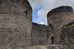
2National Trust website about the Cilgerran CastleThe first castle on this site is thought to have been built by Gerald of Windsor between 1110 and 1115, and it changed hands several times over the following century between English and Welsh forces.
The stone construction of what is left today began in 1223 under William Marshal, the 2nd Earl of Pembroke. It was abandoned by 1400 and left to ruin.
3Wikipedia page about the Cilgerran CastleAs per above.
4The Ffald y Brenin religious retreatThe Ffald y Brenin religious retreat, is a Christian retreat centre & house of prayer for Wales and all nations. Hundreds of visitors come to visit or stay every year. They have simple accommodation available but you'll need to pre-book and because it is a religious retreat you'll be expected to adhere to their daily routine of peace and quiet and perhaps also participate in their daily prayers. Keep this in mind if you are not a religious person.
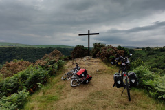
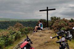
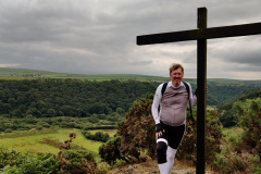
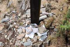
5Way-Station: The Cross, Flald-y-Brenin.This was the last way-station of our pilgrimage. It is located at the Ffald y Brenin religious retreat and is a simple cross at the top of the hill and one interesting aspect of it for those who have done the French Camino to Santiago de Compostela is that is reminiscent of the Iron Cross between Foncebadón and Manjarín in Spain.
6Wikipedia page about the St Davids CathedralSt Davids cathedral was the destination of our pilgrimage. There is no rule that says it cannot be the start, but we believe most pilgrims do the Via Beata from East to West.

Back to Top

 6. How to get in touch with us

The easiest way is to use the form below and send us a message, but you can also leave comments both here as well as in YouTube or our social media accounts. Keep in mind we do this as a hobby, not as a job, so our responses might be delayed. We aim to provide a response within a week, but it can happen that we are travelling or otherwise unavailable for longer than that. If you didn’t receive a response within 2 weeks, but send us a follow-up message.

Name

Back to Top

<- Previous Post (Day 9)   |    Next Post (Day 11+) ->

Do you like these posts? Why, then, don’t you pay me a coffee to help with the blog hosting cost and as a caffeine incentive to keep me going through the long hours of the night? (Suggested amount: £2.00 or USD $3.00 or 2.50€ or whatever you want to give).
You may donate through my Patreon Page or through PayPal directly.

Become a Patron


Please rate this post by clicking on the desired star (1 = Awful, 5 = Excellent)
[Total: 0 Average: 0]

Via Beata: Day 09 from Tregaron to Llechryd, Wales (71 Km)

This is the 10th post on a series about the Via Beata pilgrimage by bike concluded on the 3rd of August 2021.

This post has been written in English only. For other languages, please use the Google Translation drop-down option on the right menu (desktop version).
<- Previous Post (Day 8)   |    Next Post (Day 10) ->

The goals of this post are:

  1. Promote the cycling video for this day of the journey.
  2. Provide an overview of the route and allow for the download of a “cleaned-up” version of the GPX track we rode on this day of the journey’s.
  3. Provide the link to the written account for this day of the journey in Katy’s Blog.
  4. Provide the gallery of photographs that Katy and I took on this day of the journey. 
  5. Provide links to useful online resources about this day of the journey.
  6. Provide a communication channel to enable readers and interested parties to ask questions or drop us a message through the blog.

 1. The Video for this day of the journey

The  23m 26s video below was recorded between Tregaron and Llechryd on the 2nd of August 2021.

Back to Top

 2. The route we cycled on this day of the journey

The map below shows a “cleaned-up” version of our route between Lowestoft and East Harling on this day. By “cleaned-up” I mean, where I considered necessary, I edited the “real-life” track to exclude some of the mistakes or issues we encountered along the way, such as navigation errors, closed gates or other impassable obstacles (with a bike), etc. The objective being to prevent you from making these same mistakes or benefiting from the experience we acquired while riding on this route. Keep in mind everything changes… life is dynamic, roads and paths are closed for maintenance or become impassable for a number of reasons, access to certain locations may become restricted, etc. Use it at your own risk.

Download file: W-VB09 - Tregaron to Llechryd.gpx

In addition to the raw GPX route shown in the map above, which you may download through the link below the map, I have also created a Google Maps version of the entire route in the EyeCycled Google Account.

To visualise the Google Map of the Via Beata route and main Waypoints please click on the link below (opens in a new tab).

https://www.google.com/maps/d/edit?mid=1mKIjBROBR1o6IiHTRx0Mh6dNUSpa7oc&usp=sharing

Back to Top

 3. Katy’s written account of the day

Please click on the picture below to be taken to her blog post.

Katy's Day 09 Blog Post
Katy’s Day 09 Blog Post

Back to Top

 4. Photo-Gallery

A picture is worth a thousand words.

These are the pictures we took on this day of the journey. Where possible we provided some context in every picture taken. These pictures are not to be sold or used without prior consent.

Click on the thumbnail to expand picture and read about that moment. The navigation numbers below each gallery refer to the number of viewable pages in the gallery.

Day 04 Photos (Fourth day of the 10 days journey)

Back to Top

 5. Links to useful online resources for this day of the journey.

We are giving you our experiences here for free, but it is up to you if you want to replicate them or not. Each journey is different and you may want to plan a custom one for you. Hopefully some of your journey may match ours, but for any portions that don’t these are useful online resources for this day.

#Resource LinkDescription
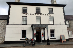
1The Talbot Hotel in Tregaron, Wales.This is the Hotel we departed from on this day of the journey. We enjoyed our stay here and have no issues recommending it to you.
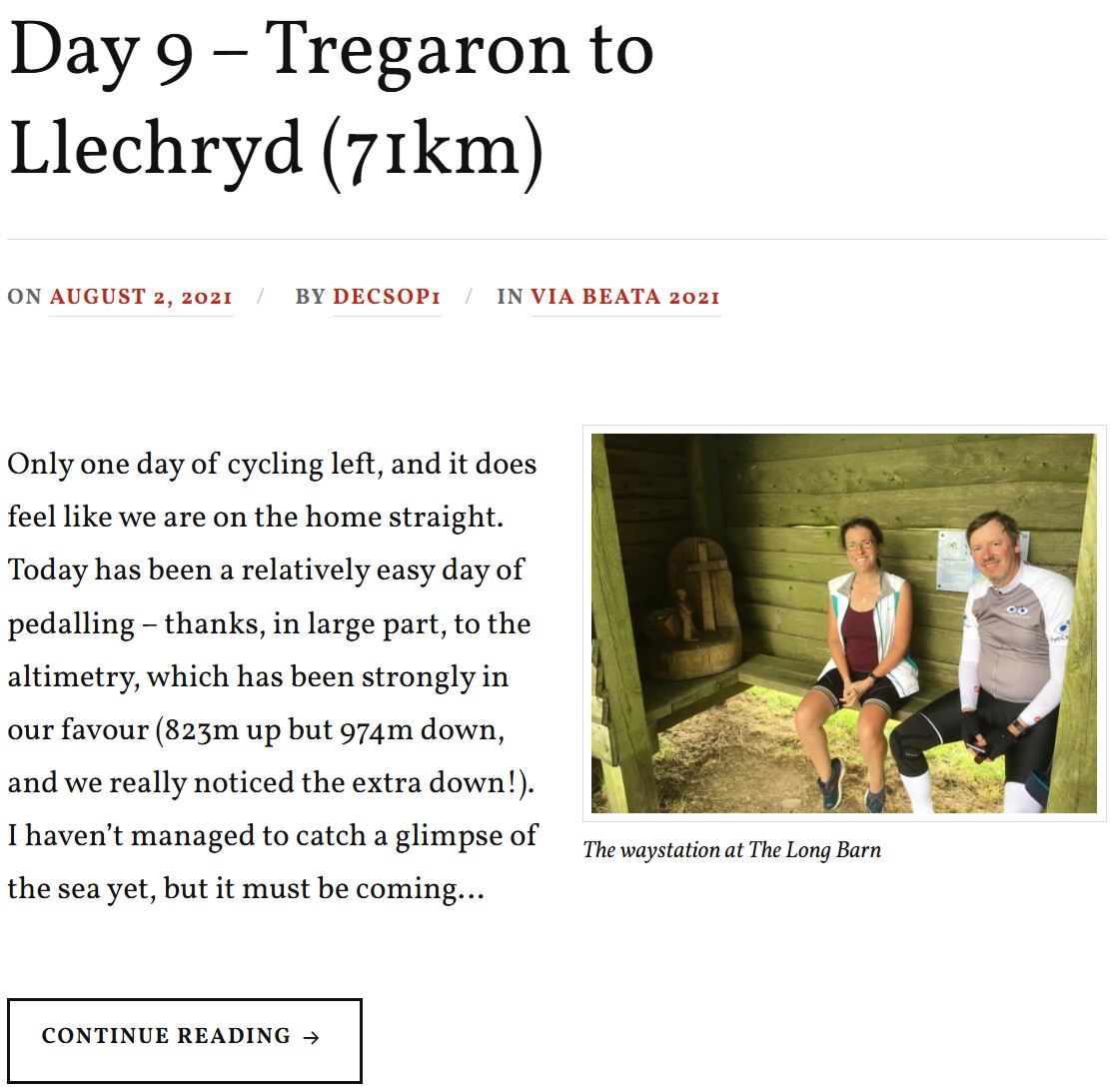
2Way-Station: Stony Hearts, Capel DewiLocated at the Long Barn Hostel, this was the penultimate waystation of our pilgrimage journey. It's a small wooden sculpture with the engraved phrase "I will remove from them their heart of stone and give them a heart of flesh", which is a bible passage from Ezekiel 36:26.
3The Long Barn accommodationThe long barn is a private establishment belonging to Eva and Tom. Eva gave us coffee and an excellent brownie, and we chatted for quite a while. She showed us around the accommodation and, of course, the waystation. We very much recommend the Long Barn to you, whether you're a pilgrim or just a tourist. They can accommodate small groups as well as large groups of up to 30 people on shared accommodation and bunk beds.
4Way-Station: Whoever is Thirsty, Let Them ComeWe actually did not visit this way-station. The tracklog of our route indicates we must have passed right by it, but we've probably forgotten to look for it.
5The Flambards Hotel in Llechryd, Wales.This is the Hotel we stayed at the end of this day's journey. We enjoyed our stay here and have no issues recommending it to you.

Back to Top

 6. How to get in touch with us

The easiest way is to use the form below and send us a message, but you can also leave comments both here as well as in YouTube or our social media accounts. Keep in mind we do this as a hobby, not as a job, so our responses might be delayed. We aim to provide a response within a week, but it can happen that we are travelling or otherwise unavailable for longer than that. If you didn’t receive a response within 2 weeks, but send us a follow-up message.

Name

Back to Top

<- Previous Post (Day 8)   |    Next Post (Day 10) ->

Do you like these posts? Why, then, don’t you pay me a coffee to help with the blog hosting cost and as a caffeine incentive to keep me going through the long hours of the night? (Suggested amount: £2.00 or USD $3.00 or 2.50€ or whatever you want to give).
You may donate through my Patreon Page or through PayPal directly.

Become a Patron


Please rate this post by clicking on the desired star (1 = Awful, 5 = Excellent)
[Total: 0 Average: 0]

Via Beata: Day 08 from Llandrindod Wells to Tregaron, Wales (67 Km)

This is the 9th post on a series about the Via Beata pilgrimage by bike concluded on the 3rd of August 2021.

This post has been written in English only. For other languages, please use the Google Translation drop-down option on the right menu (desktop version).
<- Previous Post (Day 7)    |    Next Post (Day 9) ->

The goals of this post are:

  1. Promote the cycling video for this day of the journey.
  2. Provide an overview of the route and allow for the download of a “cleaned-up” version of the GPX track we rode on this day of the journey’s.
  3. Provide the link to the written account for this day of the journey in Katy’s Blog.
  4. Provide the gallery of photographs that Katy and I took on this day of the journey. 
  5. Provide links to useful online resources about this day of the journey.
  6. Provide a communication channel to enable readers and interested parties to ask questions or drop us a message through the blog.

 1. The Video for this day of the journey

The  34m 51s video below was recorded between Llandrindod Wells and Tregaron on the 1st of August 2021.

Back to Top

 2. The route we cycled on this day of the journey

The map below shows a “cleaned-up” version of our route between Lowestoft and East Harling on this day. By “cleaned-up” I mean, where I considered necessary, I edited the “real-life” track to exclude some of the mistakes or issues we encountered along the way, such as navigation errors, closed gates or other impassable obstacles (with a bike), etc. The objective being to prevent you from making these same mistakes or benefiting from the experience we acquired while riding on this route. Keep in mind everything changes… life is dynamic, roads and paths are closed for maintenance or become impassable for a number of reasons, access to certain locations may become restricted, etc. Use it at your own risk.

Download file: W-VB08 - Llandrindod Wells to Tregaron.gpx

In addition to the raw GPX route shown in the map above, which you may download through the link below the map, I have also created a Google Maps version of the entire route in the EyeCycled Google Account.

To visualise the Google Map of the Via Beata route and main Waypoints please click on the link below (opens in a new tab).

https://www.google.com/maps/d/edit?mid=1mKIjBROBR1o6IiHTRx0Mh6dNUSpa7oc&usp=sharing

Back to Top

 3. Katy’s written account of the day

Please click on the picture below to be taken to her blog post.

Katy's Day 08 Blog Post
Katy’s Day 08 Blog Post

Back to Top

 4. Photo-Gallery

A picture is worth a thousand words.

These are the pictures we took on this day of the journey. Where possible we provided some context in every picture taken. These pictures are not to be sold or used without prior consent.

Click on the thumbnail to expand picture and read about that moment. The navigation numbers below each gallery refer to the number of viewable pages in the gallery.

Day 04 Photos (Fourth day of the 10 days journey)

Back to Top

 5. Links to useful online resources for this day of the journey.

We are giving you our experiences here for free, but it is up to you if you want to replicate them or not. Each journey is different and you may want to plan a custom one for you. Hopefully some of your journey may match ours, but for any portions that don’t these are useful online resources for this day.

#Resource LinkDescription
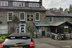
1The Llanerch Inn, Llandrindod Wells, WalesThis is the Hotel we departed from on this day of the journey.
2Sustrans WebsiteSustrans is the custodian of the National Cycle Network – the UK-wide network of over 12,000 miles of signed paths and routes for walking, wheeling, cycling and exploring outdoors.
3Wikipedia page about the UK's National Cycle NetworkThe UK's National Cycle Network, or NCN for short, began in 1977 when volunteers transformed a disused railway line into the Bristol and Bath bike path. This led to the creation of SUSTRANS, an acronym for Sustainable Transport, in 1983 and the development of the NCN between 1995 and 2000. By 2005 it had already reached 10,000 miles of sign-posted routes throughout the UK.
4The Elan Valley WebsiteThe Elan Valley is an area of outstanding natural beauty. Well worth a visit.
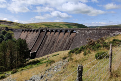
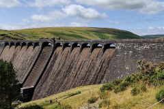
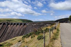
5Wikipedia page about the Claerwen reservoir / damThe Claerwen reservoir formed by the Claerwen dam mainly built to supply fresh water to the city of Birmingham, the UK's 2nd largest city. The dam was finished in 1952 and was given a late Victorian effect so that it blended in with the earlier dams in the valley. Officially opened by Queen Elizabeth II in 1952, it was one of her first royal engagements as monarch.
6The Strata Florida AbbeyStrata Florida is Latin for 'Vale of Flowers' and the Abbey received this name from the white-robed Cistercian monks that established themselves on the lush meadows beside the banks of the river Teifi in 1201.
7The Talbot Hotel in Tregaron, Wales.This is the Hotel we stayed at the end of this day's journey. We enjoyed our stay here and have no issues recommending it to you.

Back to Top

 6. How to get in touch with us

The easiest way is to use the form below and send us a message, but you can also leave comments both here as well as in YouTube or our social media accounts. Keep in mind we do this as a hobby, not as a job, so our responses might be delayed. We aim to provide a response within a week, but it can happen that we are travelling or otherwise unavailable for longer than that. If you didn’t receive a response within 2 weeks, but send us a follow-up message.

Name

Back to Top

<- Previous Post (Day 7)    |     Next Post (Day 9) ->

Do you like these posts? Why, then, don’t you pay me a coffee to help with the blog hosting cost and as a caffeine incentive to keep me going through the long hours of the night? (Suggested amount: £2.00 or USD $3.00 or 2.50€ or whatever you want to give).
You may donate through my Patreon Page or through PayPal directly.

Become a Patron


Please rate this post by clicking on the desired star (1 = Awful, 5 = Excellent)
[Total: 0 Average: 0]

Via Beata: Day 07 from Letton to Llandrindod Wells (66.6 Km)

This is the 8th post on a series about the Via Beata pilgrimage by bike concluded on the 3rd of August 2021.

This post has been written in English only. For other languages, please use the Google Translation drop-down option on the right menu (desktop version).
<- Previous Post (Day 6)    |     Next Post (Day 8) ->

The goals of this post are:

  1. Promote the cycling video for this day of the journey.
  2. Provide an overview of the route and allow for the download of a “cleaned-up” version of the GPX track we rode on this day of the journey’s.
  3. Provide the link to the written account for this day of the journey in Katy’s Blog.
  4. Provide the gallery of photographs that Katy and I took on this day of the journey. 
  5. Provide links to useful online resources about this day of the journey.
  6. Provide a communication channel to enable readers and interested parties to ask questions or drop us a message through the blog.

 1. The Video for this day of the journey

The  23m 09s video below was recorded between Letton and Llandrindod Wells on the 31st of July 2021.

Back to Top

 2. The route we cycled on this day of the journey

The map below shows a “cleaned-up” version of our route between Lowestoft and East Harling on this day. By “cleaned-up” I mean, where I considered necessary, I edited the “real-life” track to exclude some of the mistakes or issues we encountered along the way, such as navigation errors, closed gates or other impassable obstacles (with a bike), etc. The objective being to prevent you from making these same mistakes or benefiting from the experience we acquired while riding on this route. Keep in mind everything changes… life is dynamic, roads and paths are closed for maintenance or become impassable for a number of reasons, access to certain locations may become restricted, etc. Use it at your own risk.

Download file: W-VB07 - Letton to Llandrindod Wells.gpx

In addition to the raw GPX route shown in the map above, which you may download through the link below the map, I have also created a Google Maps version of the entire route in the EyeCycled Google Account.

To visualise the Google Map of the Via Beata route and main Waypoints please click on the link below (opens in a new tab).

https://www.google.com/maps/d/edit?mid=1mKIjBROBR1o6IiHTRx0Mh6dNUSpa7oc&usp=sharing

Back to Top

 3. Katy’s written account of the day

Please click on the picture below to be taken to her blog post.

Katy's Day 07 Blog Post
Katy’s Day 07 Blog Post

Back to Top

 4. Photo-Gallery

A picture is worth a thousand words.

These are the pictures we took on this day of the journey. Where possible we provided some context in every picture taken. These pictures are not to be sold or used without prior consent.

Click on the thumbnail to expand picture and read about that moment. The navigation numbers below each gallery refer to the number of viewable pages in the gallery.

Day 04 Photos (Fourth day of the 10 days journey)

Back to Top

 5. Links to useful online resources for this day of the journey.

We are giving you our experiences here for free, but it is up to you if you want to replicate them or not. Each journey is different and you may want to plan a custom one for you. Hopefully some of your journey may match ours, but for any portions that don’t these are useful online resources for this day.

#Resource LinkDescription
1The Swan in LettonThis is the Hotel we departed from on this day of the journey. We enjoyed our stay here and have no issues recommending it to you.
2Way-Station: To Whom Shall We Go? The Old Toll House, Hay-On-Wye, HerefordshireLast way-station in England, in Hay-on-Wye
3Way-Station: The Wells of Salvation, Irforn Valley Pods, Llangamarch WellsWe did NOT visit this way-station. In fact the route we took is quite away from it. Watch the video for details.
4Way-Station: Whoever is Thirsty, Let Them ComeWe did NOT visit this way-station. In fact the route we took is quite away from it. Watch the video for details.
5The Llanerch Inn, Llandrindod Wells, WalesThis is the Hotel we stayed at the end of this day's journey.

Back to Top

 6. How to get in touch with us

The easiest way is to use the form below and send us a message, but you can also leave comments both here as well as in YouTube or our social media accounts. Keep in mind we do this as a hobby, not as a job, so our responses might be delayed. We aim to provide a response within a week, but it can happen that we are travelling or otherwise unavailable for longer than that. If you didn’t receive a response within 2 weeks, but send us a follow-up message.

Name

Back to Top

<- Previous Post (Day 6)    |     Next Post (Day 8) ->

Do you like these posts? Why, then, don’t you pay me a coffee to help with the blog hosting cost and as a caffeine incentive to keep me going through the long hours of the night? (Suggested amount: £2.00 or USD $3.00 or 2.50€ or whatever you want to give).
You may donate through my Patreon Page or through PayPal directly.

Become a Patron


Please rate this post by clicking on the desired star (1 = Awful, 5 = Excellent)
[Total: 0 Average: 0]

Via Beata: Day 01 from Lowestoft to East Harling (83.62 Km)

This is the 2nd post on a series about the Via Beata pilgrimage by bike concluded on the 3rd of August 2021.

This post has been written in English only. For other languages, please use the Google Translation drop-down option on the right menu (desktop version).
<- Previous Post (Intro)    |     Next Post (Day 2) ->

The goals of this post are:

  1. Promote the cycling video for this day of the journey.
  2. Provide an overview of the route and allow for the download of a “cleaned-up” version of the GPX track we rode on this day of the journey’s.
  3. Provide the link to the written account for this day of the journey in Katy’s Blog.
  4. Provide the gallery of photographs that Katy and I took on this day of the journey. 
  5. Provide links to useful online resources about this day of the journey.
  6. Provide a communication channel to enable readers and interested parties to ask questions or drop us a message through the blog.

 1. The Video for this day of the journey

The  38m 40s video below was recorded between Lowestoft and East Harling on the 25th of July 2021.

Back to Top

 2. The route we cycled on this day of the journey

The map below shows a “cleaned-up” version of our route between Lowestoft and East Harling on this day. By “cleaned-up” I mean, where I considered necessary, I edited the “real-life” track to exclude some of the mistakes or issues we encountered along the way, such as navigation errors, closed gates or other impassable obstacles (with a bike), etc. The objective being to prevent you from making these same mistakes or benefiting from the experience we acquired while riding on this route. Keep in mind everything changes… life is dynamic, roads and paths are closed for maintenance or become impassable for a number of reasons, access to certain locations may become restricted, etc. Use it at your own risk.

Download file: E-VB01 - Lowestoft to East Harling.gpx

In addition to the raw GPX route shown in the map above, which you may download through the link below the map, I have also created a Google Maps version of the entire route in the EyeCycled Google Account.

To visualise the Google Map of the Via Beata route and main Waypoints please click on the link below (opens in a new tab).

https://www.google.com/maps/d/edit?mid=1mKIjBROBR1o6IiHTRx0Mh6dNUSpa7oc&usp=sharing

Back to Top

 3. Katy’s written account of the day

Please click on the picture below to be taken to her blog post.

Katy's Day 01 Blog Post
Katy’s Day 01 Blog Post


Back to Top

 4. Photo-Gallery

A picture is worth a thousand words.

These are the pictures we took on this day of the journey. Where possible we provided some context in every picture taken. These pictures are not to be sold or used without prior consent.

Click on the thumbnail to expand picture and read about that moment. The navigation numbers below each gallery refer to the number of viewable pages in the gallery.

Day 01 Photos (First day of the 10 days journey)

Back to Top

 5. Links to useful online resources for this day of the journey.

We are giving you our experiences here for free, but it is up to you if you want to replicate them or not. Each journey is different and you may want to plan a custom one for you. Hopefully some of your journey may match ours, but for any portions that don’t these are useful online resources for this day.

#Resource LinkDescription
1Hotel Victoria in LowestoftThis is the hotel we stayed for 1 night in Lowestoft. We enjoyed our stay here and have no issues recommending it to you.
2Way-Station: The Glory of God Gives It Light, Kirkley, LowestoftThis way-station is entitled "The Glory of God gives it light". It's based on the scripture of Revelations Chapter 21 v. 23, about a vision of the "Heavenly city" that John had while he was a prisoner on the island of Patmos. It is currently located on the grounds of the Church of St Peter & St john in Kirklet.
3Way-Station: Days of Creation, Ringsfield Hall.We actually missed this way-station. We tried to find it, but were unsuccessful. It could well be we cycled way past it and didn't see it. See video for more details.
4Way-Station: Road to Emmaus, DitchinghamLocated near the gate to the Emmaus Centre in Ditchingham – a charity that gives homeless people a place to live provides training for job opportunities.
5Way-Station: Wise and Foolish Builders, Great MoultonThis way-station is entitled "Wise and foolish builders" and is located on the grounds of the Saint Michael and all Angels church in Great Moulton.
6The Emmaus Centre in DitchinghamEmmaus Norfolk & Waveney is a homelessness charity which provides up to 32 people with a home, tailored support, training and work opportunities.
7The Sunset house B&B in East HarlingThis is the B&B we stayed at the end of our 1st day. We really enjoyed our stay here and have no issues recommending it to you.

Back to Top

 6. How to get in touch with us

The easiest way is to use the form below and send us a message, but you can also leave comments both here as well as in YouTube or our social media accounts. Keep in mind we do this as a hobby, not as a job, so our responses might be delayed. We aim to provide a response within a week, but it can happen that we are travelling or otherwise unavailable for longer than that. If you didn’t receive a response within 2 weeks, but send us a follow-up message.

Name

Back to Top

<- Previous Post (Intro)    |     Next Post (Day 2) ->

Do you like these posts? Why, then, don’t you pay me a coffee to help with the blog hosting cost and as a caffeine incentive to keep me going through the long hours of the night? (Suggested amount: £2.00 or USD $3.00 or 2.50€ or whatever you want to give).
You may donate through my Patreon Page or through PayPal directly.

Become a Patron


Please rate this post by clicking on the desired star (1 = Awful, 5 = Excellent)
[Total: 0 Average: 0]

Via Beata: Introduction

This is the 1st post on a series about the Via Beata pilgrimage by bike concluded on the 3rd of August 2021.

This post has been written in English only. For other languages, please use the Google Translation drop-down option on the right menu (desktop version).
                         |       Next Post (Day 01) ->

The goals of this post are:

  1. Promote the introduction video to the Blog.
  2. Provide an overview of the route and allow for the download of a “cleaned-up” version of the GPX track we rode from Lowestoft to St. David’s.
  3. Explain what the Via Beata is.
  4. Explain how this series will be presented and made publicly available to you.
  5. Provide the galleries of photographs that Katy and I took along the way for each day of the journey. 
  6. Provide links to useful online resources in case you are considering walking on cycling this pilgrimage yourself.
  7. Provide a communication channel to enable readers and interested parties to ask questions or drop us a message through the blog.

 1. The Introduction Video

The  7m 30s video below was recorded at the Ness Point, the UK’s most easterly point, in Lowestoft on the 24th of July 2021.

Back to Top

 2. The route we cycled

The map below shows a “cleaned-up” route from Lowestoft to St Davids. By “cleaned-up” I mean, I edited the “real-life” track to exclude some of the mistakes or issues we encountered along the way, such as navigation errors, closed gates or other impassable obstacles (with a bike), etc. The objective being to prevent you from making these same mistakes or benefiting from the experience we acquired while riding from Lowestoft to St. David’s in 2021. Keep in mind everything changes… life is dynamic, roads and paths are closed for maintenance or become impassable for a number of reasons, access to certain locations may become restricted, etc. Use it at your own risk.

Download file: Via Beata Cleaned-Up.gpx

In addition to the raw GPX route shown in the map above, which you may download through the link below the map, I have also created a Google Maps version of this route in the EyeCycled Google Account.

I know it looks identical to the map above, but this map can be shared with anyone you know who you think might benefit from it without the need to download it.

As the items it the map don’t appear to be clear, I’ve add a little picture below that might help.

Simply Instructions for the map below.

Back to Top

 3. What is the Via Beata?

The name ‘Via Beata’ in Italian means “blessed way” or in as preferred by its British founders ‘a way of blessing’.

The Via Beata was the idea of Steve Eggleton, who lives in Banham, located right on the route. In conversation with Steve, before we started our journey, he mentioned that he literally dreamt of it one night and the idea never left his mind. The dream was of a line connecting the west coast to the east coast at its widest point, from Lowestoft (the UK’s most easterly point) to St. David’s Cathedral in Wales. As Steve is master artisan of wood carvings, his dream included a network of Christian art-works along this route that had the intention to communicate God’s love for people. These art-works are referred to by him as “Way-Stations”, positioned in key points along the way. The number of way-stations is increasing gradually with new way-stations being added to the route every year, which gives this pilgrimage a dynamic nature.

The first way-station was set up in Banham in the Summer of 2009 and then the organizers have worked outwards to the East and to the West with the initial aim of establishing a way-station every ten miles or so and linking them with existing footpaths and rights-of-way. The Via Beata was therefore established as a walkers path.

The Via Beata really isn’t yet an established bike route: like Lands-End-to-John-O’Groats, so there is no one way to do it. But it has piqued Sustrans’ interest and we were lucky enough to have been sent a pdf and GPX files of a possible route that Sustrans had put together from various National Cycle Routes and other bike-friendly paths and roads. Katy, who has discovered this route and worked tirelessly on planning before our start in 2021 dedicated a disconcerting number of hours to tweaking the route, avoiding some of the more obvious possible pratfalls resulting in a planned journey to go in 10 stages: long days towards the start (where it is flat) with the shorter days saved for the Welsh mountains.

I confess, if it wasn’t for Katy’s research and planning I’d have probably never heard of the Via Beata, so all credits must go to her. She wrote a blog explaining her motivations and how close this was to her heart. I encourage you to read her blog here.

As it is often the case, things never go completely as planned, especially when you are in a group of pioneers executing th plan for the 1st time. We had our fair share of issues and problems along the way… from inexistent paths, locked gates, weather related detours, blocked roads and other impassable obstacles with a loaded bike. Yet, we’ve managed to keep our route reasonably close to the planned one and achieved our goal in the planned 10 days of the journey.

The series of videos and blog post that follow are an account of our experiences in these 10 days. For the vast majority it was an extremely positive experience. Both Katy and I loved this trip and when you really like something it is only natural that you want to share it with other like minded people.

So, the product we are giving you for free here, are our experiences and advice on how to avoid the major pitfalls we had along the way. We’ve spent countless hours editing the videos so they look consistent and present a view of every meter of the route so that, if you want to follow in our footsteps (or bike tracks rather) you’ll know exactly what to expect. For the few people left in the world who are avid readers, Katy has written detailed accounts of every day of the trip in her blog and I’ll be linking my blog posts to hers as she does a much better job in textually describing our experiences than I ever could hope to. The more technical details, such as the GPX route, the stats (altimetry, distances, speed, heart rate and other telemetry stats) and the videos are more on me than on her, but we did work cooperatively in order to provide you with a reasonable guide.

If you read to this point, I’d like to invite you to donate us a coffee for this work. We don’t sell the information, nor get any money through monetising or advertisement at the moment, so donations are this blog’s only source of income. If enough money is obtained through your generous donations that will enable us to pay for the renewal of EyeCycled.com, the hosting of the information and as a added motivation for us to keep doing this. We are very thankful for anything you can spare.

Back to Top

 4. How will the Via Beata materials be presented and made available to you?

The Via Beata materials will be available in written format here, in the blog, and as a playlist of videos in the EyeCycled’s YouTube Channel.

The blog posts will follow a similar structure as presented here with 1 major difference: For the written account of each day’s journey, I’ll just provide a link to Katy’s Via Beata Blog posts. She worked hard in publishing these posts on the same days the journeys happened. I was always very impressed by her commitment and dedication. Even after having cycled long distances all day and being very tired, she always found the motivation to stay up in the evenings writing the posts. There is no need to reinvent the wheel. Her blogs are fantastic written accounts of the journey and if it wasn’t for them a lot would have been lost in memory from 2021, when we actually did the journey, to 2025 when these posts and videos are being published in EyeCycled.com.

For those familiar with EyeCycled’s  YouTube channel you will know that videos are mostly the “time-lapse” recordings of the journey, with commentary and a musical background. The difference between these videos and previous ones are, in my humble opinion, the unprecedented level of clarity and stabilization of the footage provided by mechanical and electronic means and the clear 4K resolution footage recorded. Katy and I also worked hard in providing relevant commentary to the footage where we considered it to be useful.

From the time this introduction blog post and video are published, there will be 1 new blog post and video every week until the entire journey is covered. As the journey took 10 days and the playlist is planned to contain 12 videos, incl. today’s one, we expect the entire program will complete in 11 weeks after this publication.

The series of Blog posts and videos were the result of hundreds of hours of hard work. We didn’t do this with the objective of making any money out of it, but if they are useful to you and you’d like to recognise the value of this work, please consider sponsoring EyeCycled.com or providing a one-off donation to keep the blog going.  

Back to Top

 5. Photo-Galleries

A picture is worth a thousand words.

You’ll find below several picture galleries, one for each day of the journey plus an extra one for the days we spent in St Davids after the pilgrimage was complete. These will be repeated on the posts for each specific day. There are 463 pictures between “Day Zero” and “Day 10” of the journey and then another 261 pictures for the remaining 3 days we spent in St Davids. I considered not posting them all at once, but perhaps they might serve as an incentive for you to follow the series of videos and blog posts as they are published. Where possible I provided some context in every picture taken. These pictures are not to be sold or used without prior consent.

Click on the thumbnail to expand picture and read about that moment. The navigation numbers below each gallery refer to the number of viewable pages in the gallery.

Use the links below to jump directly to the desired gallery.

Day Zero  –  Day 01  –  Day 02  –  Day 03  –  Day 04  –  Day 05

Day 06  –  Day 07  –  Day 08  –  Day 09  –  Day 10  –  Day 11+

Day Zero Photos (prior to the start of the Journey)

 Back to the Top of the Gallery

Day 01 Photos (First day of the 10 days journey)

 Back to the Top of the Gallery

Day 02 Photos (Second day of the 10 days journey)

 Back to the Top of the Gallery

Day 03 Photos (Third day of the 10 days journey)

 Back to the Top of the Gallery

Day 04 Photos (Fourth day of the 10 days journey)

 Back to the Top of the Gallery

Day 05 Photos (Fifth day of the 10 days journey)

 Back to the Top of the Gallery

Day 06 Photos (Sixth day of the 10 days journey) 

 Back to the Top of the Gallery

Day 07 Photos (Seventh day of the 10 days journey) 

 Back to the Top of the Gallery

Day 08 Photos (Eighth day of the 10 days journey) 

 Back to the Top of the Gallery

Day 09 Photos (Ninth day of the 10 days journey) 

 Back to the Top of the Gallery

Day 10 Photos (Tenth day of the 10 days journey) 

 Back to the Top of the Gallery

Days 11, 12 and 13 Photos (These are pictures taken of the Cathedral and of our walks during our 3 days stay in St Davids) 

 Back to the Top of the Gallery

Back to Top

 6. Useful online resources for planning your own journey.

We are giving you our experiences here for free, but it is up to you if you want to replicate them or not. Each journey is different and you may want to plan a custom one for you. Hopefully some of your journey may match ours, but for any portions that don’t these are useful online places you can go to aid in your planning.

#Resource LinkDescription
1Official Via Beata WebsiteIf you are walking (or cycling) the Via Beata, this is the main place to go. Keep in mind, however, the Via Beata route is mainly designed for walking and there are a few stiles and kissing gates on the route that are challenging for cyclists.
2Katy's Via Beata BlogsA must read for anyone doing the Via Beata, especially if cycling.
3Via Beata Playlist in YouTube.Currently composed of 12 videos, incl. 1 introduction video, 10 videos of the journey (1 for each day) and a final conclusion video in St Davids after out arrival there.
4Via Beata Page in the British Pilgrimage TrustNot much info there, but proves the Via Beata is recognised as an official pilgrimage route in the UK.
5Unofficial Via Beata Facebook GroupThis group is mantained by us (EyeCycled). It is unofficial, but it may be useful as a forum for the exchange of information between those who have already done the pilgrimage and those who are planning to do it. We've created a similar group for the Pilgrims' Way pilgrimage and that has proven to be a valuable resource for pilgims.
6Via Beata Official Facebook PageThe official Via Beata Facebook page. Keep in mind this is not a group, so exchange of information might be limited to messages only.
7Via Beata Instragram PageFor pictures of new developments, new way-stations and general visual information.
8Via Beata Page in the LDWAThe LDWA - Long Distance Walkers Association has information and paths / routes for many British treks and pilgrimages.
9Great article about the Via Beata on Norfolk MagazineFound by "accident". Published on the 18th April. Contains a picture of Steve Eggleton and pictures of some of the Way-Station while in production. Worth reading.

Back to Top

 7. How to get in touch with us

The easiest way is to use the form below and send us a message, but you can also leave comments both here as well as in YouTube or our social media accounts. Keep in mind we do this as a hobby, not as a job, so our responses might be delayed. We aim to provide a response within a week, but it can happen that we are travelling or otherwise unavailable for longer than that. If you didn’t receive a response within 2 weeks, but send us a follow-up message. 

Name

Back to Top

                         |       Next Post (Day 01) ->

Do you like these posts? Why, then, don’t you pay me a coffee to help with the blog hosting cost and as a caffeine incentive to keep me going through the long hours of the night? (Suggested amount: £2.00 or USD $3.00 or 2.50€ or whatever you want to give).
You may donate through my Patreon Page or through PayPal directly.

Become a Patron


Please rate this post by clicking on the desired star (1 = Awful, 5 = Excellent)
[Total: 0 Average: 0]