Tag Archives: Cathedral

Pilgrims’ Way Day 4: Lenham to Canterbury (3 Stages, 36.31 km)

<- Previous Post (Day 3)    |
"Faith is not the clinging to a shrine but an endless pilgrimage of the heart.” Abraham Joshua Heschel.

In this post…

    1. Introduction (this is the same as on previous posts, so skip to next section if you’ve already seen it
    2. The statistics and metrics of the day
    3. Stage 13: From From the Harrow Inn Hotel near Lenham to the All Saints’ Church in Boughton Aluph
    4. Stage 14: From the All Saints’ Church in Boughton Aluph to the Village Hall in Chilham
    5. Stage 15: From Village Hall in Chilham to the Canterbury Cathedral

Introduction

OK, if this is the first Pilgrim’s Way post of mine that you are reading, I’d recommend you go back a little and read my Introduction to the Pilgrims’ Way blog. There are a few things I explain there that I don’t here and this post might look confusing if you don’t know these things beforehand (e.g. why 15 stages?).

This post is all about the forth day of the pilgrimage – but do take into consideration I was cycling, so if you are walking it is likely you’ll cover much less ground than me! In this one day I covered stages 13, 14 and 15. I describe them separately here. The section below provides the statistics for the full day, but in each video, there are some statistics for each one of the stages such as distance and time.

YouTube Playback speed
YouTube Playback speed settings.

I reckon that the videos show the route and the difficulties quite well, despite being so speeded-up. You can pause them for more detail or reduce the playback speed in the YouTube interface, if you don’t mind watching it for a longer time (if you do this, don’t forget to mute the video to avoid hearing a slowed-down version of the music!).

Also, bear in mind that this pilgrimage was undertaken during the pandemic and that, although some restrictions had been lifted in the UK in August/September, many places, such as small community churches, were still closed.

Back to Top

Statistics and metrics of the day

All of the details below are in my Pilgrims’ Way  Google Sheets Spreadsheet.

  • Date: Thursday, 3 September 2020.
  • Route: From the Harrow Inn Hotel near Lenham to the Canterbury Cathedral
  • Distance:  36.31 km
  • Departure time from Harrow Inn Hotel: Around 9:30am.
  • Arrival at the Canterbury Cathedral: Around 16:00h.
  • Duration of day’s Journey: 6h 04min (but includes several filming stops with the German TV crew). Moving time was considerably shorter = 2h 40 min
  • Expenses this day: Total = £63.00
    • £30.00 – Food.
    • £33.00 – Accommodation in Canterbury (does NOT incl. Breakfast next day)
  • Overnight Location: Premier Inn Canterbury City Centre, Kent, England. ✆ +44-333 321 9298
  • Type of Accommodation: Hotel
  • Walking the Pilgrims’ Way Guide (Leigh Hatts) Stages:
  • Physical and Body Stats: Link to the Garmin Connect Page for this ride
      • Duration (elapsed time): 6h 04min
      • Moving time: 2h 40min
      • Average Speed: 13.1 km/h
      • Average Moving Speed:  14.2 km/h
      • Max. Speed: 43.6 km/h
      • Total Elevation Gain:  358 m
      • Average Heart Rate: 133 bpm
      • Max. Heart Rate: 184 bpm
      • Calories: 1,482 CAL (Est.)
    • The tracking was done by 2 Garmin devices: A Garmin Edge 810 bicycle computer and a Garmin Forerunner 235 watch. There appears to be significant differences between these devices.

Back to Top


Stage 13: From From the Harrow Inn Hotel near Lenham to the All Saints’ Church in Boughton Aluph

If you haven’t done so already, please watch the video first and then read this blog for more detail! I didn’t want to include all this information in the video voiceover because it would have added too much to the length of the video (which is 6’42″).

The picture below was used in the video and I hope will help you make more sense of the text below.

PW13-Google-Earth-Lenham-to-Boughton-Aluph
Map of the 13th stage between the Harrow Inn Hotel near Lenham and the All Saints’ Church in Boughton Aluph. In yellow the downloaded walker’s path. In red the path I took

Before I left the hotel in the morning I had the task of replacing the inner tube of the rear tyre. Thankfully the spare inner tube I was carrying with me worked well, but pumping a fully deflated tyre, with the little bike pump I had, took considerable time and effort.

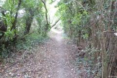
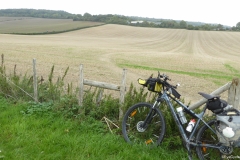
Leaving the Harrow Inn Hotel, I turned right into the Waterditch Rd and then immediatelly right again into Rayners Hill which I had to ride for a few hundred metres to join the dirt track of the Pilgrims’ Way again on the left (which I almost missed). You’ll walk / ride a good few kilometres on these dirt tracks passing farmyard buildings with fields and often a tree line on both sides. The paths are wide, firm and easy to ride despite a bit of gravel on the ground.

It was in one of these paths I met 2 cyclists (a couple) whose intention was to tour from the southeast of the country all the way to Wales in the west, a good few hundred miles away. We’ve spent only a few minutes talking, I gave them a card, but they never got in touch and I don’t recall their names anymore.

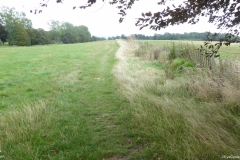
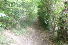
You will eventually get to the A252, but will only have to ride / walk on it for 10-15 m in order to cross over to the Pilgrims Way (the road) on the right. The Pilgrims Way is a paved single track with farm fields on both sides at this point. Eventually the asphalt ends and it becomes a dirt track again with a denser tree line between the farm fields. Quite enjoyable to walk / ride on. The asphalted single track returns about 1 or 2 km later (still on cycle route 17).

At the T-Junction between Dunn St and Westwell Ln you’ll need to take a path that has a, sort of, “U” shaped gate (I had to lift my bike vertically to get through it) leading to a path on a farm field that appears to be part of cycle route 17 hence the curiously looking bike sign (as in bikes allowed) post. One would think cycle routes would be unobstructed paths that facilitate the life of cyclists, but that concept does not appear to be valid in the UK. You’ll ride / walk on unpaved single tracks until you get to the edge of a field where the path becomes less pronounced and when I was there the field had just been prepared for planting, so the crossing of the field wasn’t an easy / pleasureable ride. Surprisingly it all still appears to be part of cycle route 17. There is another of such obstacles on the other side of the field, but this one I was able to (barely) transpose without having to lift the bike. Curiously, this entire stretch is in Google Street View and whenever Google took these pictures it looked very different than when I was there.

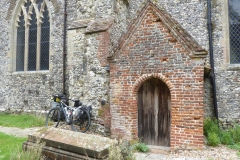
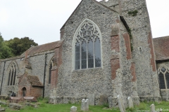
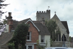
As you re-join the asphalt straight ahead you’ll eventually get to a kissing gate that the original walker’s route instructed to take, but I decided to stick to the road and turn right few metres later. This road doesn’t appear to have a name, but will lead to the A251 and the village of Boughton Lees. The All Saints Church is perhaps 1 or 2 km away from Boughton Lees in a place called Boughton Aluph, which strangely does not appear to be a village at all as the only thing around it is the church and some farm buildings. To get to the church you can stay on the road or, like me, take the narrow shortcut path with barbwire fences on both sides (be careful). After riding a few hundred metres on some farm fields you’ll get to a metal Kissing Gate that leads to the church yard and where the German TV crew was already waiting for me as they wanted to shoot some scenes of me arriving at the church. The All Saints Church has a long pilgrim tradition as medieval pilgrims coming from both Winchester and Southwark would gather there to cross the (then) dangerous King’s Wood forest (which was known to be infested with robbers) together to Chilham. The origins of the church can be traced back to Anglo-Saxon times (1066), but the church itself, more or less as it stands today is from 1329. At the time I was there the church was closed due to Covid restrictions but in normal times it hosts once a year the Stour Music Festival. Its well worth a visit.

The picture gallery below shows the pictures taken by me along this stage. Click on any picture to enlarge.

I hope you enjoy the video and the photos.

Back to Top


Stage 14: From the All Saints’ Church in Boughton Aluph to the Village Hall in Chilham

If you haven’t done so already, please watch the video first and then read this blog for more detail! I didn’t want to include all this information in the video voiceover because it would have added too much to the length of the video (which is 4’19”).

The picture below was used in the video and I hope will help you make more sense of the text below.

PW14-Google-Earth-Boughton-Aluph-to-Chilham
Map of the 14th stage between the All Saints’ Church in Boughton Aluph and the Chilham Community Hall in Chilham. In yellow the downloaded walker’s path. In red the path I took

As mentioned in the previous stage, the German TV crew filming the Pilgrims’ Way documentary wanted to add a little acting in the King’s Wood due to the relevance it had in medieval times. As this isn’t really part of the route and the pilgrimage, I have not included it in the video.

As I left the All Saints Church in Boughton Aluph, I crossed a farm field that led me to White Hill Road. The walkers’ route I had obtained on the internet was instructing me to cross the road and follow straight on the farm’s dirt track, but as I had to meet the German TV crew I turned left and climbed White Hill Road to meet them at the King’s Wood Car Park 2 km away. After all the filming I rode back less than a kilometer to enter the King’s Wood at the point I highlight in the video. Hard for me to make a recommendation about a path not taken, but if you are doing it on a bike I would avoid the farm’s dirt track and enter the King’s Wood where I did.

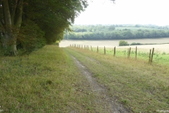
The ride through the wood is very nice and easy with only a few slopes along the way, being the one at the end the more challenging (but easily done). Eventually the path I took joins the path of the walkers’ route. You’ll exit King’s Wood at the A252, not far from Chilham. You’ll ride / walk along the A252 all the way to the Village of Chilham. The walkers’ path will lead you to the St Mary’s Church in Chilham, but by mistake I continued on the A252 and missed the church, hence the reason I end the video of this stage in the Village Hall. After the Village Hall, the next street to the right will take you to the church.

The picture gallery below shows the pictures taken by me along this stage. Click on any picture to enlarge.

I hope you enjoy the video and the photos.

Back to Top


Stage 15: From Village Hall in Chilham to the Canterbury Cathedral.

If you haven’t done so already, please watch the video first and then read this blog for more detail! I didn’t want to include all this information in the video voiceover because it would have added too much to the length of the video (which is 13’09”).

The picture below was used in the video and I hope will help you make more sense of the text below.

PW15-Google-Earth-Route
Map of the 15th and last stage between the Chilham Community Hall in Chilham and the cathedral in Canterbury. In yellow the downloaded walker’s path. In red the path I took

If you get to start this stage from the St Mary’s Church in Chilham you will likely be on Church Hill Road. You’ll cross the A252 to take Long Hill and continue all the way to Old Wives Lees, where you’ll turn right on Lower Less Road (the road that was undergoing roadworks in the video). You’ll walk to the “triangle” intersection of Lower Ensden Rd and you should see in front (a little to the right) the path that will take you through some farm fields all the way to the Apple Orchards of Nickle Farm in Chartham. I usually eat an Apple a day (to keep the doctor away) and to me seeing all the Apple trees and their pleasant smeel was a real delight.

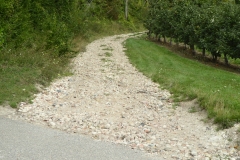
Nickle Farm belongs to FW Mansfield & Son and it is a big business, with many workers, mostly coming from Eastern Europe for the harvest. As I rode through the farm I got a little lost and asked for directions, but communication was a bit difficult. I eventually found the path, but when I saw the pebbles on the track up hill I got demotivated. That forced me to look for an alternative and after talking to another person in the farm he recommeded the path to Canterbury over Chartham village, alongside the Great Stour river, which isn’t really part of the original Pilgrims’ Way route (see where the yellow line and the red line disconnect on the map above).

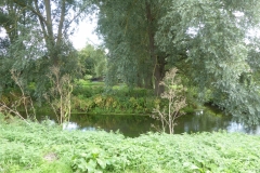
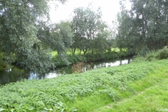
The original route, on the walkers’ path and the guide will take you to the villeage of Chartham Hatch (yellow line), but I decided to override that. This was MY pilgrimage afterall and, personally, I take a river path over a single track lane any time. Again, it is probably not right for me do make recommendations over a path not taken, but I am glad I did ride to Canterbury alongside the river. The path is beautiful, very flat and very enjoyable, but you’ll have to divide it with a number of other cyclists and walkers (incl. dogs, children, etc). You’ll see magnificent river houses, trees and fields all the way to Canterbury. I think the video is much better at showing you this than I could ever put in words, but if you take the same path as I did you’ll be giving up the historical path of the pilgrimage.

The video includes some drone footage I filmed the NEXT day with Katy and some details about Canterbury with Katy’s voice. I hope you enjoy the bird’s eye view of Canterbury at the distance (at that point the Cathedral is about 3.5 km away).

Upon arriving in Canterbury, as it became the norm over these 4 days, the German TV crew was already waiting for me at the Westgate Towers for a quite intense session of filming. Honestly, I felt a bit like a movie star walking into Canterbury city centre being followed by TV cameras and a filming crew. A sensation that I wasn’t necessarily comfortable with due to all the attention it drew onto me… all for a good cause anyway.

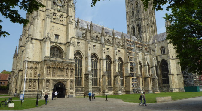
I should consider myself lucky they were there though. I did this pilgrimage during the times of the pandemic and if it wasn’t for the TV crew I am sure a few doors wouldn’t have been open to me. Upon arriving at the cathedral I was warmly greeted by canon Emma Pennington who received us and led us first into the cript of Saint Thomas Becket and then into the high altar where I received my final pilgrim’s blessing and where Katy sang at the end of the video.

In all fairness, I must warn you, the pictures you see in the video are from the next day though as the arrival at the cathedral and all the filming for the TV crew was quite intense. I didn’t really had a lot of time to film for myself, but the experience is the same. If you ever get to watch the documentary, the final footage of me (if included at all) might likely be an aerial / drone footage at the campus of the University of Kent riding into the sunset (quite moving really) onto another challenge.

This stage concludes the pilgrimage. I hope you enjoyed this short series of videos and posts about my Pilgrims’ Way pilgrimage by bike. To me these are memories I’ll take to the grave 🙂

The picture gallery below shows the pictures taken by me along this stage. Click on any picture to enlarge.

I hope you enjoy the video and the photos.

Back to Top

<- Previous Post (Day 3)    |

If you have any questions, don’t hesitate to comment or send me a message through the contact form.
Please subscribe to my Blog and/or to my YouTube channel if you don’t want to miss the next one and help me spread the word by liking and sharing my Facebook Page, Instagram and Tweeter feed also.
Thank you for your time!


Do you like these posts? Why, then, don’t you pay me a coffee to help with the blog hosting cost and as a caffeine incentive to keep me going through the long hours of the night? (Suggested amount: £2.00 or USD $3.00 or 2.50€ or whatever you want to give).
You may donate through my Patreon Page or through PayPal directly.

Become a Patron


Please rate this post by clicking on the desired star (1 = Awful, 5 = Excellent)
[Total: 0 Average: 0]

Canterbury para Dover, Rota Ciclistica Nacional 16

Não está disponível em Português

Voce gostaria de me ajudar traduzindo o artigo o artigo para mim? Por favor, entre em contato. Obrigado!

Please rate this post by clicking on the desired star (1 = Awful, 5 = Excellent)
[Total: 6 Average: 4.8]

Via Francigena... Novidades!

 
Oi Pessoal!
Desculpe pelo meu “desaparecimento”.
Estive (e estou) muito ocupado, tanto na minha vida profissional quanto pessoal, desta forma não tenho tido muito tempo para me dedicar ao EyeCycled.com nas últimas 2 semanas.
Eu ainda estou trabalhando nos “posts” e videos da pedalada de Páscoa em Devon (Devon de Costa a Costa).
 
Tenho, entretanto, boas noticias para compartilhar… O projeto “Via Francigena” esta confirmado.
 
Meu pedido de um longo periodo de férias foi finalmente aprovado pela companhia em que trabalho e esta semana estou comprando a passagem de volta de Roma para o Reino Unido.
Pelo plano atual, deixo o Reino Unido no Sábado, dia 30 de Julho, a partir da Catedral de Canterbury (Catedral de Cantuária) a caminho de Roma, onde preciso chegar no máximo dia 8 de Setembro para embarcar de volta no dia 9.
 
Para mim isto é muito excitante, pois será a viagem de bicicleta mais longa da minha vida. Terei que fazer uma média de 54 Km por dia de bicicleta para cubrir os quase 2.200 Km entre Canterbury e Roma a tempo de pegar o avião de volta, mas eu acho que consigo e estou muito entusiasmado com esta aventura.
 
Obrigado pelo teu apoio e fique ligado para mais detalhes em breve.
 
O site official da Via Francigena é este: http://www.viefrancigene.org/en/
 
Please rate this post by clicking on the desired star (1 = Awful, 5 = Excellent)
[Total: 1 Average: 4]

Caminho de Santiago, Dia 8: De León para Astorga

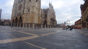
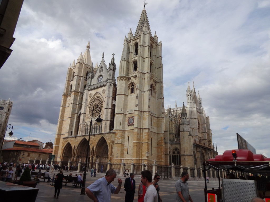
León's impressive Cathedral
A impressionante Catedral de León

Bem-vindo ao post sobre o oitavo dia da nossa peregrinação de bicicleta pelo caminho de Santiago no dia 1o. de junho de 2015. Completamos esta etapa de 50 Km León para Astorga em 4h e 35m, dos quais 3h 22m foram em movimento.

Deixei o albergue as 8 da manhã e resolvi pedalar até a catedral. Na verdade, eu não precisava pedalar até lá, mas eu queria dar uma última olhada nela. Ao chegar lá reparei que havia um casal de ciclistas olhando para um mapa e ao me aproximar deles notei que também eram brasileiros.

Leon Cathedral at 10 past 8 in the morning.
Catedral de León as 10 para 8 da manhã.

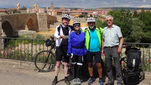
Marcelo e Alice são de Recife e também estavam fazendo o Caminho de Santiago de bicicleta. Conversamos por alguns minutos e decidimos juntos procurar a saída da cidade.

5 Star Hotel Parador in León, for Pilgrims with a lot of cash.
Hotel Parador em León. Cinco estralas para peregrinos com muito dinheiro.

Pouco sabia eu naquele momento que eles completariam comigo e com Fernando a peregrinação. Nossa amizade se deu início naquele momento e se mantém até hoje graças a Internet.

León é uma cidade relativamente grande e levamos 1h e 20 min para chegar a La Virgen del Camino, que ainda faz parte da região metropolitana de León e se situa bem próximo ao aeroporto. Paramos em um local chamado Cafeteria Miravelles para tomar café da manhã e 50 min depois já estávamos de volta nas bicicletas pedalando na familiar estrada N-120 em direção a Astorga. Pedalamos nessa estrada o dia inteiro nesse dia, até chegarmos a Astorga.

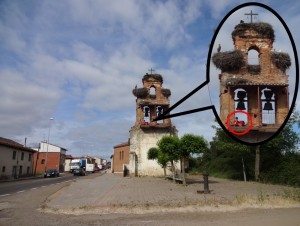
This Pilgrim slept with the birds.
Este peregrino dormiu com os pássaros.

Ao chegarmos no pequeno vilarejo de Valverde de la Virgen nos deparamos com algo interessante. A Espanha é cheia de torres de sinos (na falta de uma palavra melhor, pois não sei exatamente como se chamam estas estruturas). Em muitas dessas torres cegonhas brancas fazem seus ninhos.

Stork's Nest in Hospital de Órbigo.
Ninho de Cegonhas Brancas em Hospital de Órbigo.

Nesta em particular um peregrino havia resolvido passar a noite junto aos pássaros e havia acordado na hora que passávamos. Alguns peregrinos acampam durante toda peregrinação, sem usarem albergues ou hotéis uma única vez, especialmente aqueles que trazem consigo animais. Não sei se esse foi o caso daquele peregrino em particular, mas achei interessante a escolha que ele fez do local para passar a noite, se é que ele conseguiu dormir ali.

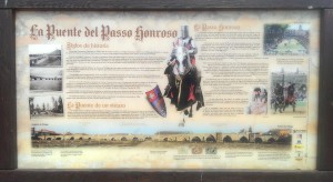
The bridge of the honoured step (La Puente del Passo Honroso), Hospital de Órbigo
A ponte do passo honroso (La Puente del Passo Honroso), Hospital de Órbigo

Depois de Valverde de la Virgen cruzamos por vários pequenos vilarejos como San Miguel del Camino, Villadangos del Paramo e San Martín del Camino até chegarmos e mais um marco no Caminho de Santiago:

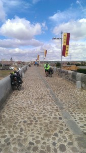
Medieval Bridge over the River Órbigo.
Ponte medieval sobre o rio Órbigo.

A ponte de pedra medieval do século 13 sobre o rio Órbigo, na cidade de Hospital de Órbigo, que deve seu nome devido ao antigo hospital de peregrinos que lá existia. A ponte parece ser muito grande para o tamanho atual do rio, mas antes da construção da represa de Barrios de Luna o rio tinha um grande afluxo de agua. A ponte tem 19 arcos e é bem preservada.

Bridge over the River Órbigo (the Honourable Step Bridge)
História da ponte sobre o rio Órbigo (a ponte do passo honroso)

Nós fizemos um rápido pit-stop para descanso e agua depois de atravessarmos a ponte e continuamos na N-120 na direção de Astorga. O resto do caminho até Astorga ocorreu sem maiores acontecimentos.

Ao chegarmos em Astorga, o Marcelo e a Alice decidiram já ficar no Albergue municipal e eu fui ao centro da cidade para encontrar com o Fernando. Havíamos combinado de nos encontrarmos lá para prosseguirmos com a viagem juntos no dia seguinte.

Astorga's Municipal Hostel
Albergue municipal de Astorga.

Depois de encontrar com Fernando nós dois retornamos ao Albergue Municipal e ficamos em um quarto no mesmo andar em que estavam o Marcelo e a Alice.

Eu recomendo este Albergue. O pernoite custa 5 € e ele é limpo e bem organizado. A maioria dos quartos possui apenas 2 beliches (4 camas) e dividimos o nosso quarto com 2 peregrinos da Alemanha.

Town hall of Astorga
Prefeitura de Astorga

Esteja preparado(a) para subir muitas escadas se, como nós, você ficar hospedado no último andar (as bicicletas ficam no porão). A vista do nosso quarto era fantástica, no entanto. O albergue tem uma cozinha completa e uma lavanderia com um grande varal para secar roupas no jardim de trás.

Astorga's Cathedral
Catedral de Astorga

Depois de tomar banho decidimos explorar a cidade. Astorga é muito legal, como uma arquitetura muito interessante. Eu sei que escrevi isso antes, mas Astorga é uma cidade pequena que transmite a sensação de cidade grande e que tem uma história muito antiga. Astorga foi fundado 875 antes de León e de acordo com a Wikipedia foram encontrados artefatos que datam de 2750 BC (antes de cristo). Os povos celtas locais, que se chamavam de os Astures e os Cantabri, habitam essa região por volta de 75 antes de cristo, e mais tarde em 146 antes de Cristo, Astorga se tornou um importante local Romano chamado Asturica.

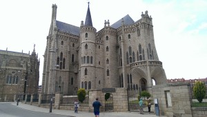
Episcopal Palace of Astorga
Palacio Episcopal de Astorga (Hoje museu dos caminhos)

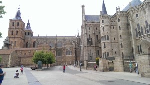
Como em muitas cidades Espanholas, Astorga tem uma impressionante catedral, mas tem também um edifício intitulado Palácio Episcopal de Astorga que foi projetado e parcialmente construído por Gaudi, o mesmo arquiteto que projetou a famosa igreja da Sagrada Família em Barcelona. A edificação hospeda hoje em dia um Museu de Arte religiosa chamado “Museo de los Caminos”, dedicado inteiramente ao Caminho de Santiago.

Cathedral and Epicopal Palace of Astorga
Catedral e Palácio Episcopal de Astorga

Ao passearmos pelo centro da cidade, Marcelo, Alice, Fernando e eu decidimos não jantar em um restaurante naquela noite e assim compramos o alimento para cozinhar na cozinha do Albergue. O Marcelo é um grande “Chef” e é dono de vários restaurantes em Recife e, obviamente, um grande cozinheiro. Foi muito uma noite muito legal, preparando nossa janta e compartilhando histórias com os outros peregrinos que estavam no Albergue, tudo regado a um bom vinho de Galícia.

E assim encerramos o 8o. dia de peregrinação. Por favor deixe comentários, perguntas ou pelo menos indique se você gostou ou não ao clicar nas estrelas abaixo.

<< Dia Anterior                                                                                  Próximo dia >>

Please rate this post by clicking on the desired star (1 = Awful, 5 = Excellent)
[Total: 9 Average: 4.3]

Caminho de Santiago, Dia 7: De Calzadilla de la Cueza para León

Municipal Hostel in Calzadilla de la Cueza
Albergue Municipal de Calzadilla de la Cueza

Bem-vindo ao post sobre o sétimo dia da minha peregrinação de bicicleta pelo caminho de Santiago no dia 31 de maio de 2015. Completei esta etapa de 81 Km do pequeno vilarejo de Calzadilla de la Cueza para a cidade de León em 6h e 24m, dos quais 5h 16m foram em movimento.

Deixei o albergue as 8 da manhã como de costume. Os primeiros 18 Km na estrada N-120 foram sem maiores acontecimentos. Passei por outros vilarejos como Ledigos, Terradillos de los Templarios, San Nicolas del Real Camino em uma boa cadência.

About 2 Km from Sahagún. Immediately after crossing the river Valderaduey.
Na N-120, a cerca de 2 Km de Sahagún. Imediatamente após cruzar o rio Valderaduey.
Ao me aproximar de Sahagún, entretanto, imediatamente após cruzar o rio Valderaduey, eu vi uma das típicas setas amarelas que guiam os andarilhos e decidi segui-las, saindo da estrada.

Stone bridge leading to the Ermita de la Virgen del Puente. Can you see the clear yellow signs?
Ponte de pedra que da acesso a Ermita de la Virgen del Puente. As setas amarelas indicando o sentido em direção a capela são bem claras, mas por alguma razão eu as ignorei.

Poucos metros depois cheguei a um local onde havia uma pequena ponte levando a uma igrejinha chamada “Ermita de la Virgen del Puente” e neste ponto havia novamente uma seta amarela apontando em direção a igreja.

Eu não entendo até hoje o que me levou a ignorar a seta e seguir adiante. Este erro me custou um atraso de pelo menos 35 minutos e 7.28 Km pedalados para chegar a Sahagún ao invés de 2 Km se eu tivesse me mantido na estrada N-120.

A mistake with a nice view.
Um erro com uma bela vista. Campos de papoulas vermelhas.

É a prova que até mesmo durante uma peregrinação, se você deixar seu pensamento solto e não prestar atenção no que estava fazendo você vai pagar pelo erro com o suor do seu corpo.

Felizmente não existe erro que não possa ser corrigido e ao chegar a uma pequena estrada, a LE-6707, notei que estava errado e peguei a estrada para retornar a Sahagún. No ponto que a LE-6707 cruzava com a N-120 não havia nenhum ponto de entrada e por isso tive que adentrar a cidade para daí deixa-la de volta a N-120.

Esse não foi nem de perto o maior erro que cometi, mas isso é assunto para um Post futuro. Mesmo assim fiquei bem chateado com o erro.

Dessa forma fica aqui o alerta de que se você estiver baixando meus arquivos GPX com intenção de usa-los na sua peregrinação, lembre-se que ao cruzar o rio Valderaduey simplesmente continue pedalando na N-120 (se você estiver a pé aconselho seguir as setas amarelas para evitar as estradas).

Via Trajana. Pilgrim's resting place amongst the trees to the right.
Via Trajana. Havia um local de descanço para peregrinos entre as árvores a direita.

Cerca de 5 Km depois que eu retomei a N-120 eu a deixei na direção de Calzada del Coto. No final do vilarejo eu tomei uma pequena estrada de terra que o Google Maps identifica como Via Trajana. Neste ponto não existem boas alternativas por estradas, pois a N-120 segue em direção ao sul (León é ao norte) e é proibido o trafego de bicicletas e pedestres na autoestrada (a autoestrada A-231 corre em paralelo a via trajana, alguns quilômetros ao sul).

Aproximadamente 9 Km depois, por volta das 11 da manhã, cheguei ao vilarejo de Calzadilla de los Hermanillos a parei para tomar um café da manhã tarde ou um almoço adiantado, conforme preferir chamar.

After Calzadilla de los Hermanillos in the direction to Reliegos.
Após Calzadilla de los Hermanillos em direção à Reliegos.

Depois de Calzadilla de los Hermanillos pedalei por mais 4 Km em asfalto (o asfalto não estava em boas condições) até ao cruzamento com a LE-6620 onde voltei a tomar uma estrada de terra por mais 14 Km até o vilarejo de Reliegos.

Dirt road littered with stones.
Estrada de terra cheia de pedras.

Esses 14 Km foram meio chatos por causa do sol forte e das pedras no caminho que causavam muita vibração na bike e me faziam trocas de trilha de pneu com muita frequência na procura de um caminho com menos pedras. Foi em um desses momentos que eu parei por uns instantes pensando como essas trilhas são uma analogia as nossas vidas e decidi naquele momento capturar esses pensamentos em voz. A intenção era compartilhar os pensamentos em palavras escritas mais tarde, mas acabei decidindo por me expor e compartilhar a gravação original com vocês. Espero que não fiquem com a impressão que sou um tolo ao fazer isso. Houveram muitos momentos nessa peregrinação em que me emocionei e esta foi apenas um deles. A gravação, entretanto, está em Inglês.

Wild Poppies on the streets of Reliegos.
Papoulas nativas nas ruas de Reliegos.

Depois de Reliegos os 24 Km restantes até León foram em bom asfalto na LE-6615 e plano praticamente o percurso inteiro. Mesmo assim levei pouco mais de 2h para chegar a León pois estava me sentido cansado com a constante vibração causada pelas pedras e o sol forte.

Em León me hospedei no Albergue del Monasterio de las Benedictinas (Carbajalas) que custa 5€ por pernoite. O albergue é mantido por voluntários e você precisa ter sua credencial de peregrino para poder se hospedar. Ele é essencialmente uma grande sala dividida por paredes finas de plástico em espaços de 6 beliches cada.

Pilgrims's resting place near Mansilla de las Mulas
Local de descanço para peregrinos próxima a Mansilla de las Mulas

O albergue tem 132 camas (ou 66 beliches) e o número de banheiros não pareceu ser suficiente. Em termos de higiene também deixou um pouco a desejar, mas foi aceitável.

Se você espera encontrar uma tomada para recarregar seus aparelhos eletrônicos, boa sorte. Não encontrei nenhuma próxima a minha cama e o lugar de alguma maneira não me inspirou confiança para deixar meus aparelhos longe. Existe WiFi na área da recepção do lado de fora, mas não há recepção dentro do quarto. Também não existem armários onde deixar seus pertences e tudo fica acumulado ao longo do corredor. Acredito que é possível que alguém pegue seus pertences por engano naquela confusão, mas felizmente não tive nenhum problema.

Arrival in León
Chegada em León.

Eu jantei no restaurante da hospedaria que abre somente depois das 7 da noite. O menu do peregrino custou 9€ e a comida estava razoável (nada excepcional, entretanto).

Antes do jantar eu sai para caminhar pela cidade por 2 horas.

Pilgrims' Menu
Menu do Peregrino.

León é incrível. Eu me senti muito bem lá. Possui uma arquitetura gótica muito interessante e muitas flores pela cidade. Eu não entrei na catedral por acreditar que eu não estava vestido de maneira adequada e eu não queria desrespeitar os fiéis locais que estavam entrando na igreja para assistir à missa que ia começar. Do lado de fora, entretanto, a igreja é muito impressionante.

Eu vou adicionar, ao final deste post, algumas fotos da minha caminhada por León. O próximo vídeo é na praça da catedral ao tocar dos sinos que chamava os fiéis para a missa.

Bem, assim encero meu post sobre o dia 7 da minha peregrinação. Por favor deixe comentários, perguntas ou pelo menos indique se você gostou ou não ao clicar nas estrelas abaixo (depois das fotos). Às vezes fico pensando se não estou perdendo meu tempo ao produzir estes vídeos e escrever sobre minha peregrinação, mas aí observo que independente deles serem uteis para outras pessoas eles são úteis para mim próprio. É uma maneira que tenho de viajar de volta ao tempo e reviver esses incríveis momentos no caminho.

Fotos de León

Old city wallsAntigas muralhas da cidade

Plaza Sta Maria del Camino.Plaza Sta Maria del Camino.

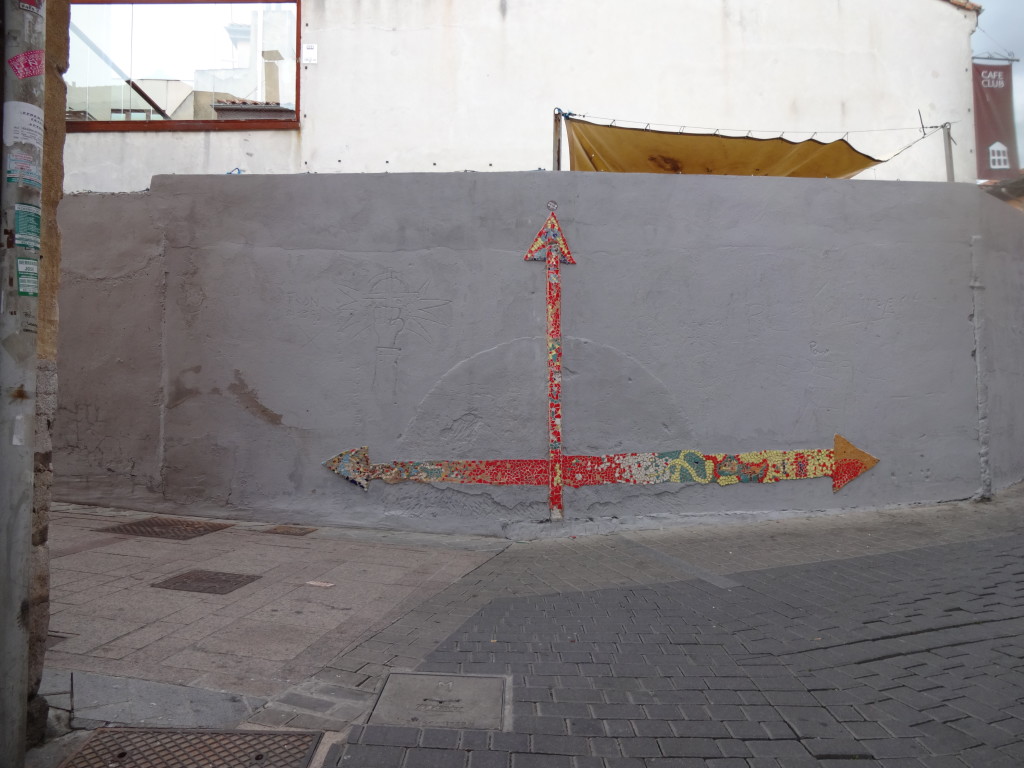
Where to?Para onde?

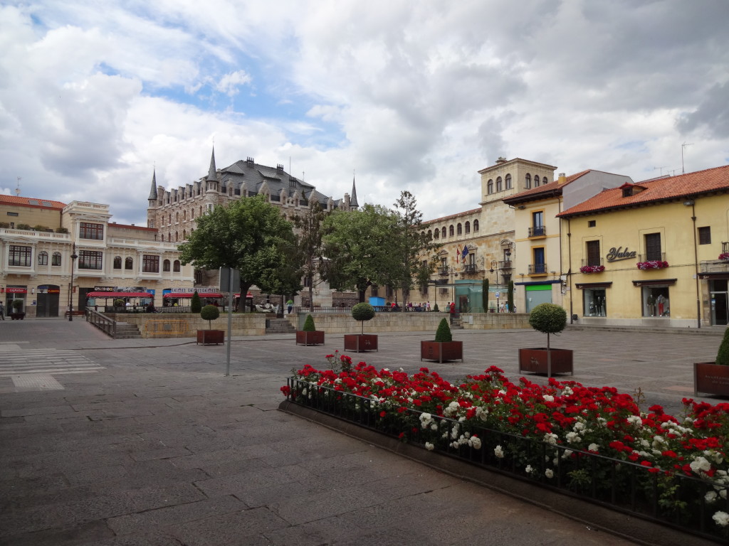
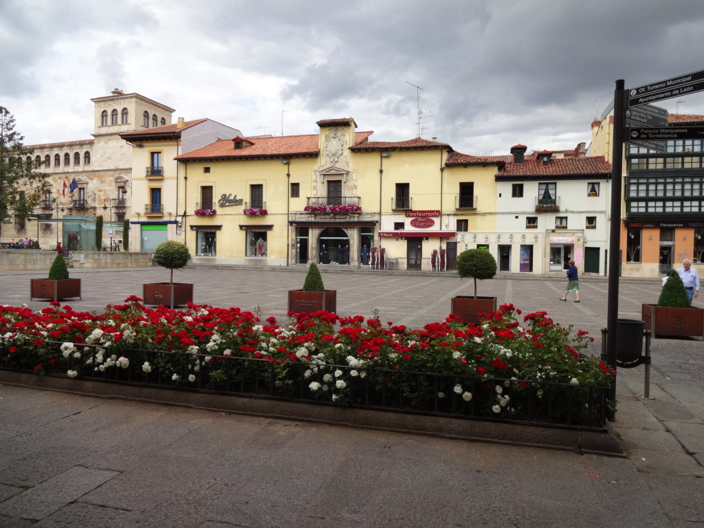
Plaza San MarceloPlaza San Marcelo

Plaza San Marcelo Plaza San Marcelo

3D map of LeónMapa 3D de León

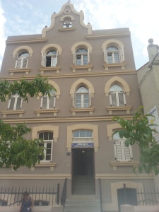
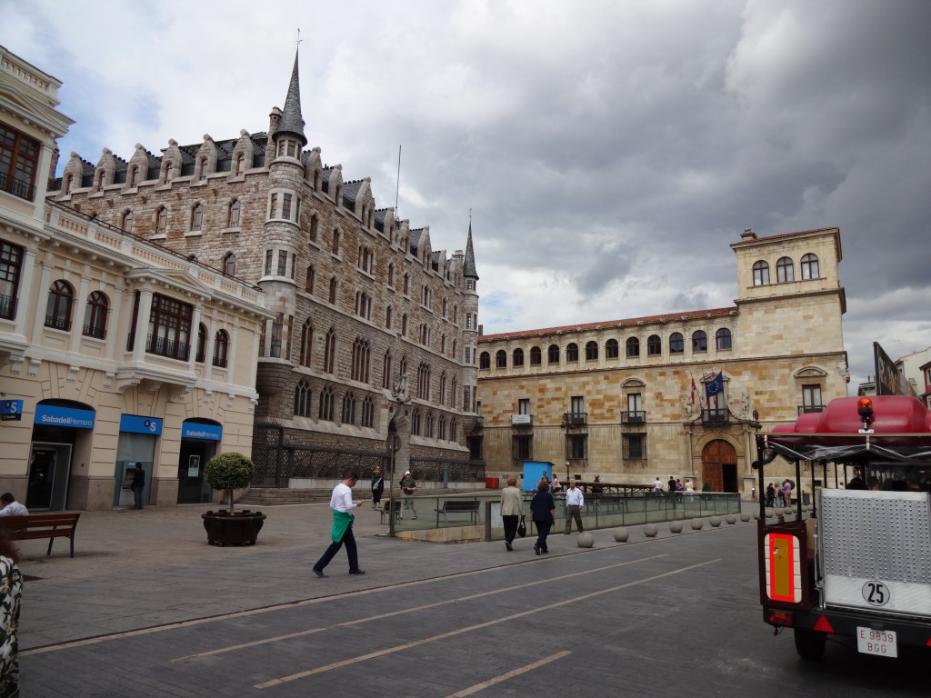
The Botines Building. Designed by Gaudi.A Casa Botines. Projetada pelo architeto Gaudi.

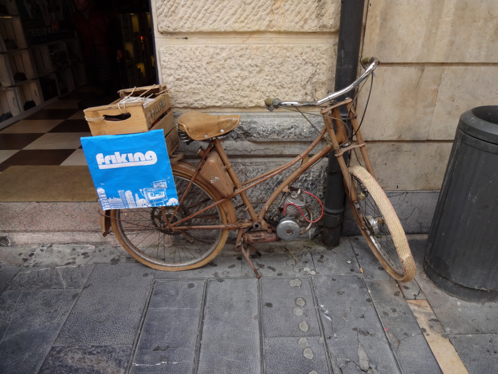
Before e-Bikes there were petrol head bikes.Antes da e-Bikes existiam as de petroleo.

León's impressive CathedralImpressionante Catedral de León.

10 to 610 para as 6

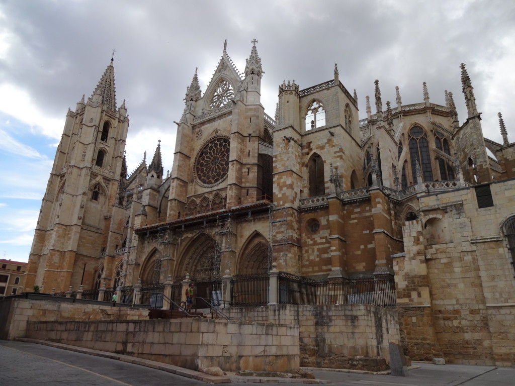
Right side of the CathedralVista lateral direita da Catedral

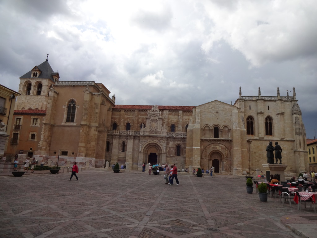
Basilica de San IsidoroBasilica de San Isidoro

Water Fountain at the Plaza de Santo DomingoChafariz na Plaza de Santo Domingo

CuteLindas

Wonder how they taste Como será o gosto…

<< Dia Anterior                                                                                  Próximo dia >>

Please rate this post by clicking on the desired star (1 = Awful, 5 = Excellent)
[Total: 8 Average: 4.4]