Hello EyeCycled friends!
Life has been busy and somewhat complicated especially now that I am so close to leave on my 2,000 Km pilgrimage to Rome on the 30th of June.
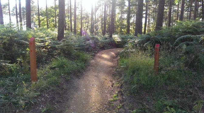
Yet, as part of my training I’ve been trying to ride my bike as much as my free time allows and this week I rode all the way from Bracknell to Camberley through the Swinley Forest. On my way back, the weather was so nice I decided to ride the entire length of the RED trail as this was the one I did not record when I posted my first Swinley Forest MTB Trails post back in August 2015. I’ve been wanting to record this trail since then, which is much more technically challenging than the BLUE one.

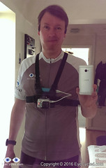
I have also tried something new… a GoPRO chest strap mount. I’ve seen quite a few riders using it and always wanted to give it a try. I don’t think it is something I will be using often as I found it to be a bit uncomfortable, but it is always an option. I found that is does help reducing the shakiness of the picture, however, the RED trail was not a good place to test it properly as the trail is really bumpy.
Anyway, I’ve got 2 options for you:
- A 59 min long full length video of the entire trail with my voice commentary only i.e. no music, no video acceleration where you can, hopefully, see the entire trail in detail.
- A 10min 51sec, accelerated video (6x normal speed) with some nice music, but quite difficult to watch at places because there is only so much shaking that video stabilization can deal with. If you don’t have time (or patience) to watch the full length video, this may be an option. You may also want to watch the shorter, accelerated version first and then focus only on the parts you find more interesting on the full length video (tip: if you are watching the accelerated video at 3 min and want to see that part in greater detail, just multiple by 6 and jump to the full length video at around 18 min).
Always good to have options, isn’t it?
But before I give you the videos, here goes the stats of the RED trail as recorded by my Garmin Edge 810 and according to a 51 years old amateur rider 🙂
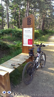
- Length / Distance: 11 Km or 6.83 miles (In the information totem pole, the length given is 13 Km / 8 miles, but there were several diversions in place).
- Time: According to my Garmin, 59 min in total or 53 min of moving time.
- Average Speed: 11.1 Kph (Km/h)
- Max Speed: 33.8 Kph (Km/h)
- Elevation Gain / Loss: 202m / 206m
- Max / Min Elevation: 3m / -43m
- Average Heart Rate: 169 bpm
- Max. Heart Rate: 192 bpm
- Calories: 746 CAL
RED MTB Trail: Full length Video (59 min)
RED MTB Trail compressed / accelerated video (10 min 51s)
Thank you for your time.
If you like this post please rate it in the starts below and share it in social media.

