(Disponível em Português) (Auf Deutsch verfügbar)
The 3rd and last day of my short Isle of Wight tour started rainy and grey. You can see by the pictures in the time-lapse video below.
I knew the day was going to be like that and was expecting it to be much worse than it actually was. About 1.5 hours into the ride the skies cleared and the rain stopped. Still very cloudy, but at least dry.
I had a non-water proof camera mount on the handlebar and the water proof camera casing was mounted on my helmet. Unfortunately I didn´t notice that somehow the camera was bending to the left as you can see at the beginning of the time-lapse video. Once the rain stopped I moved the camera to the handlebar mount as the open casing also enabled the camera to be charged while recording the trip.
The ride started with a climb straight away. Ventnor is very “hilly” and when I planned my route using Google Maps it suggested a more inland route than I had taken in a previous visit to the island (Sustrans Regional Route 67). So, I didn´t get to see much of the village, but I did ride through it during a nice sunny day in August 2014 and the video below I took during that ride.
The coastal route is nicer, but it has climbs of up to 12% incline in places that were challenging enough for an “empty” bike, let alone a fully loaded one.
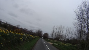
The route traced by Google Maps took me along Wroxall, Newchurch and when I got to a place known as the Garlic Farm, which is exactly what the title indicates, a garlic farm, but you can
visit the farm and know everything about garlic (something like a Garlic Museum), I realised Google was taking me to a direct route to Ryde, which is not what I wanted. My intention was to bypass the
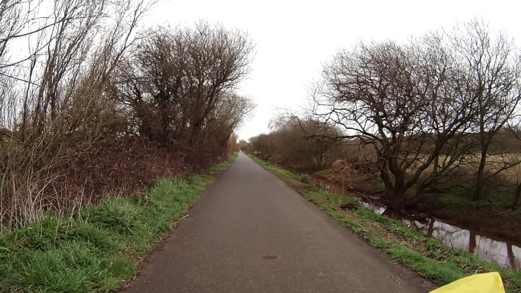
coastal hills, as I had already done them last year, but to go back to the coast shortly after, so I turned back to Newchurch and entered what is known as the Red Squirrel Trail or Sustrans National Cycle Route 23. I really recommend a ride on this route. It´s a pedestrian shared cycle path, but horses are not allowed and it runs alongside the river Yar. Very peaceful and you´ll find a number of people riding it as well.
I met a nice couple and had a quick chat with them. The man was a native of the Isle, but they both lived in California and were there to visit his family.

The destination was Sandown and I got a bit lost after the cycle path ended, so you see in the GPS data a bit a back and forth until I found my way.
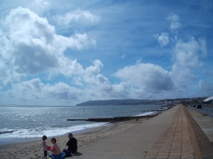
Sandown is a nice part of the Island with great sandy beaches and a fun pier with all sorts of entertainments (game machines, bump cars, etc). If you have children they will love it (it reminds Brighton pier).
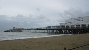
Riding along the promenade at Sandown beach is fun, but on sunny days you’ll find it full of people and need to be careful.
After Sandown I made my way to
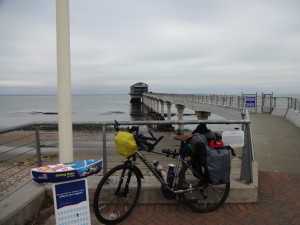
Bembridge where the new Lifeboat Station is located. At a cost of £7
million it’s a state of the art facility where they can launch sea worthy rescue boats over a ramp in a matter of minutes.

After Bembridge I crossed Saint Helens and the grounds of the Priory Bay Hotel and Golf camp (very nice to stay if you have the money) in the direction to the village of Seaview. In Seaview you have a clear view of Portsmouth on the other side of the channel.
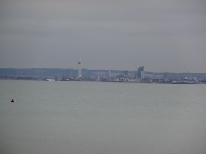
From Seaview it´s a short trip to Ryde alongside the beach. Having done the trip in this direction (counter clockwise), if you ever go to the Isle of Wight to ride I would recommend that you go the other direction (clockwise). From Ryde to Seaview, Bembridge, Sandown, Shanklin, Ventnor and so on. I think it would be a more scenic route.
This post now concludes the series of posts about my 3 days trip to and around the Isle of Wight. If you have any questions, don´t hesitate to ask. Thank you for your visit!
I´ve added a few more pictures and videos below.

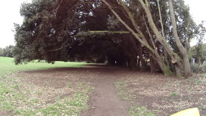
The video below was taken as I was about the leave the Isle of Wight after a 3 days cycling tour to and around the Island.
Bicycles and Hovercrafts… two very interesting vehicles.
Bicycles are carried free of charge in the Hovercraft and you don’t need to disassemble anything, just remove your bags/luggage from the bike (and item lose item, although I left the water bootles in places and they arrived fine). On the way back my bike´s rear view mirror got broken though. Keep in mind the cargo can only carry 2 bikes at once, but during summer the service runs every 15 minutes.
The next video was shot inside the Hovercraft while “flying” over water to Portsmouth.
