Tag Archives: Cathedral

Pilgrims' Way Day 4: Lenham to Canterbury (3 Stages, 36.31 km)

<- Previous Post (Day 3)    |
"Faith is not the clinging to a shrine but an endless pilgrimage of the heart.” Abraham Joshua Heschel.

In this post…

    1. Introduction (this is the same as on previous posts, so skip to next section if you’ve already seen it
    2. The statistics and metrics of the day
    3. Stage 13: From From the Harrow Inn Hotel near Lenham to the All Saints’ Church in Boughton Aluph
    4. Stage 14: From the All Saints’ Church in Boughton Aluph to the Village Hall in Chilham
    5. Stage 15: From Village Hall in Chilham to the Canterbury Cathedral

Introduction

OK, if this is the first Pilgrim’s Way post of mine that you are reading, I’d recommend you go back a little and read my Introduction to the Pilgrims’ Way blog. There are a few things I explain there that I don’t here and this post might look confusing if you don’t know these things beforehand (e.g. why 15 stages?).

This post is all about the forth day of the pilgrimage – but do take into consideration I was cycling, so if you are walking it is likely you’ll cover much less ground than me! In this one day I covered stages 13, 14 and 15. I describe them separately here. The section below provides the statistics for the full day, but in each video, there are some statistics for each one of the stages such as distance and time.

YouTube Playback speed
YouTube Playback speed settings.

I reckon that the videos show the route and the difficulties quite well, despite being so speeded-up. You can pause them for more detail or reduce the playback speed in the YouTube interface, if you don’t mind watching it for a longer time (if you do this, don’t forget to mute the video to avoid hearing a slowed-down version of the music!).

Also, bear in mind that this pilgrimage was undertaken during the pandemic and that, although some restrictions had been lifted in the UK in August/September, many places, such as small community churches, were still closed.

Back to Top

Statistics and metrics of the day

All of the details below are in my Pilgrims’ Way  Google Sheets Spreadsheet.

  • Date: Thursday, 3 September 2020.
  • Route: From the Harrow Inn Hotel near Lenham to the Canterbury Cathedral
  • Distance:  36.31 km
  • Departure time from Harrow Inn Hotel: Around 9:30am.
  • Arrival at the Canterbury Cathedral: Around 16:00h.
  • Duration of day’s Journey: 6h 04min (but includes several filming stops with the German TV crew). Moving time was considerably shorter = 2h 40 min
  • Expenses this day: Total = £63.00
    • £30.00 – Food.
    • £33.00 – Accommodation in Canterbury (does NOT incl. Breakfast next day)
  • Overnight Location: Premier Inn Canterbury City Centre, Kent, England. ✆ +44-333 321 9298
  • Type of Accommodation: Hotel
  • Walking the Pilgrims’ Way Guide (Leigh Hatts) Stages:
  • Physical and Body Stats: Link to the Garmin Connect Page for this ride
      • Duration (elapsed time): 6h 04min
      • Moving time: 2h 40min
      • Average Speed: 13.1 km/h
      • Average Moving Speed:  14.2 km/h
      • Max. Speed: 43.6 km/h
      • Total Elevation Gain:  358 m
      • Average Heart Rate: 133 bpm
      • Max. Heart Rate: 184 bpm
      • Calories: 1,482 CAL (Est.)
    • The tracking was done by 2 Garmin devices: A Garmin Edge 810 bicycle computer and a Garmin Forerunner 235 watch. There appears to be significant differences between these devices.

Back to Top


Stage 13: From From the Harrow Inn Hotel near Lenham to the All Saints’ Church in Boughton Aluph

If you haven’t done so already, please watch the video first and then read this blog for more detail! I didn’t want to include all this information in the video voiceover because it would have added too much to the length of the video (which is 6’42″).

The picture below was used in the video and I hope will help you make more sense of the text below.

PW13-Google-Earth-Lenham-to-Boughton-Aluph
Map of the 13th stage between the Harrow Inn Hotel near Lenham and the All Saints’ Church in Boughton Aluph. In yellow the downloaded walker’s path. In red the path I took

Before I left the hotel in the morning I had the task of replacing the inner tube of the rear tyre. Thankfully the spare inner tube I was carrying with me worked well, but pumping a fully deflated tyre, with the little bike pump I had, took considerable time and effort.

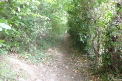
Leaving the Harrow Inn Hotel, I turned right into the Waterditch Rd and then immediatelly right again into Rayners Hill which I had to ride for a few hundred metres to join the dirt track of the Pilgrims’ Way again on the left (which I almost missed). You’ll walk / ride a good few kilometres on these dirt tracks passing farmyard buildings with fields and often a tree line on both sides. The paths are wide, firm and easy to ride despite a bit of gravel on the ground.

It was in one of these paths I met 2 cyclists (a couple) whose intention was to tour from the southeast of the country all the way to Wales in the west, a good few hundred miles away. We’ve spent only a few minutes talking, I gave them a card, but they never got in touch and I don’t recall their names anymore.

You will eventually get to the A252, but will only have to ride / walk on it for 10-15 m in order to cross over to the Pilgrims Way (the road) on the right. The Pilgrims Way is a paved single track with farm fields on both sides at this point. Eventually the asphalt ends and it becomes a dirt track again with a denser tree line between the farm fields. Quite enjoyable to walk / ride on. The asphalted single track returns about 1 or 2 km later (still on cycle route 17).

At the T-Junction between Dunn St and Westwell Ln you’ll need to take a path that has a, sort of, “U” shaped gate (I had to lift my bike vertically to get through it) leading to a path on a farm field that appears to be part of cycle route 17 hence the curiously looking bike sign (as in bikes allowed) post. One would think cycle routes would be unobstructed paths that facilitate the life of cyclists, but that concept does not appear to be valid in the UK. You’ll ride / walk on unpaved single tracks until you get to the edge of a field where the path becomes less pronounced and when I was there the field had just been prepared for planting, so the crossing of the field wasn’t an easy / pleasureable ride. Surprisingly it all still appears to be part of cycle route 17. There is another of such obstacles on the other side of the field, but this one I was able to (barely) transpose without having to lift the bike. Curiously, this entire stretch is in Google Street View and whenever Google took these pictures it looked very different than when I was there.

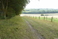
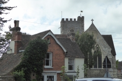
As you re-join the asphalt straight ahead you’ll eventually get to a kissing gate that the original walker’s route instructed to take, but I decided to stick to the road and turn right few metres later. This road doesn’t appear to have a name, but will lead to the A251 and the village of Boughton Lees. The All Saints Church is perhaps 1 or 2 km away from Boughton Lees in a place called Boughton Aluph, which strangely does not appear to be a village at all as the only thing around it is the church and some farm buildings. To get to the church you can stay on the road or, like me, take the narrow shortcut path with barbwire fences on both sides (be careful). After riding a few hundred metres on some farm fields you’ll get to a metal Kissing Gate that leads to the church yard and where the German TV crew was already waiting for me as they wanted to shoot some scenes of me arriving at the church. The All Saints Church has a long pilgrim tradition as medieval pilgrims coming from both Winchester and Southwark would gather there to cross the (then) dangerous King’s Wood forest (which was known to be infested with robbers) together to Chilham. The origins of the church can be traced back to Anglo-Saxon times (1066), but the church itself, more or less as it stands today is from 1329. At the time I was there the church was closed due to Covid restrictions but in normal times it hosts once a year the Stour Music Festival. Its well worth a visit.

The picture gallery below shows the pictures taken by me along this stage. Click on any picture to enlarge.

I hope you enjoy the video and the photos.

Back to Top


Stage 14: From the All Saints’ Church in Boughton Aluph to the Village Hall in Chilham

If you haven’t done so already, please watch the video first and then read this blog for more detail! I didn’t want to include all this information in the video voiceover because it would have added too much to the length of the video (which is 4’19”).

The picture below was used in the video and I hope will help you make more sense of the text below.

PW14-Google-Earth-Boughton-Aluph-to-Chilham
Map of the 14th stage between the All Saints’ Church in Boughton Aluph and the Chilham Community Hall in Chilham. In yellow the downloaded walker’s path. In red the path I took

As mentioned in the previous stage, the German TV crew filming the Pilgrims’ Way documentary wanted to add a little acting in the King’s Wood due to the relevance it had in medieval times. As this isn’t really part of the route and the pilgrimage, I have not included it in the video.

As I left the All Saints Church in Boughton Aluph, I crossed a farm field that led me to White Hill Road. The walkers’ route I had obtained on the internet was instructing me to cross the road and follow straight on the farm’s dirt track, but as I had to meet the German TV crew I turned left and climbed White Hill Road to meet them at the King’s Wood Car Park 2 km away. After all the filming I rode back less than a kilometer to enter the King’s Wood at the point I highlight in the video. Hard for me to make a recommendation about a path not taken, but if you are doing it on a bike I would avoid the farm’s dirt track and enter the King’s Wood where I did.

The ride through the wood is very nice and easy with only a few slopes along the way, being the one at the end the more challenging (but easily done). Eventually the path I took joins the path of the walkers’ route. You’ll exit King’s Wood at the A252, not far from Chilham. You’ll ride / walk along the A252 all the way to the Village of Chilham. The walkers’ path will lead you to the St Mary’s Church in Chilham, but by mistake I continued on the A252 and missed the church, hence the reason I end the video of this stage in the Village Hall. After the Village Hall, the next street to the right will take you to the church.

The picture gallery below shows the pictures taken by me along this stage. Click on any picture to enlarge.

I hope you enjoy the video and the photos.

Back to Top


Stage 15: From Village Hall in Chilham to the Canterbury Cathedral.

If you haven’t done so already, please watch the video first and then read this blog for more detail! I didn’t want to include all this information in the video voiceover because it would have added too much to the length of the video (which is 13’09”).

The picture below was used in the video and I hope will help you make more sense of the text below.

PW15-Google-Earth-Route
Map of the 15th and last stage between the Chilham Community Hall in Chilham and the cathedral in Canterbury. In yellow the downloaded walker’s path. In red the path I took

If you get to start this stage from the St Mary’s Church in Chilham you will likely be on Church Hill Road. You’ll cross the A252 to take Long Hill and continue all the way to Old Wives Lees, where you’ll turn right on Lower Less Road (the road that was undergoing roadworks in the video). You’ll walk to the “triangle” intersection of Lower Ensden Rd and you should see in front (a little to the right) the path that will take you through some farm fields all the way to the Apple Orchards of Nickle Farm in Chartham. I usually eat an Apple a day (to keep the doctor away) and to me seeing all the Apple trees and their pleasant smeel was a real delight.

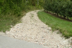
Nickle Farm belongs to FW Mansfield & Son and it is a big business, with many workers, mostly coming from Eastern Europe for the harvest. As I rode through the farm I got a little lost and asked for directions, but communication was a bit difficult. I eventually found the path, but when I saw the pebbles on the track up hill I got demotivated. That forced me to look for an alternative and after talking to another person in the farm he recommeded the path to Canterbury over Chartham village, alongside the Great Stour river, which isn’t really part of the original Pilgrims’ Way route (see where the yellow line and the red line disconnect on the map above).

The original route, on the walkers’ path and the guide will take you to the villeage of Chartham Hatch (yellow line), but I decided to override that. This was MY pilgrimage afterall and, personally, I take a river path over a single track lane any time. Again, it is probably not right for me do make recommendations over a path not taken, but I am glad I did ride to Canterbury alongside the river. The path is beautiful, very flat and very enjoyable, but you’ll have to divide it with a number of other cyclists and walkers (incl. dogs, children, etc). You’ll see magnificent river houses, trees and fields all the way to Canterbury. I think the video is much better at showing you this than I could ever put in words, but if you take the same path as I did you’ll be giving up the historical path of the pilgrimage.

The video includes some drone footage I filmed the NEXT day with Katy and some details about Canterbury with Katy’s voice. I hope you enjoy the bird’s eye view of Canterbury at the distance (at that point the Cathedral is about 3.5 km away).

Upon arriving in Canterbury, as it became the norm over these 4 days, the German TV crew was already waiting for me at the Westgate Towers for a quite intense session of filming. Honestly, I felt a bit like a movie star walking into Canterbury city centre being followed by TV cameras and a filming crew. A sensation that I wasn’t necessarily comfortable with due to all the attention it drew onto me… all for a good cause anyway.

I should consider myself lucky they were there though. I did this pilgrimage during the times of the pandemic and if it wasn’t for the TV crew I am sure a few doors wouldn’t have been open to me. Upon arriving at the cathedral I was warmly greeted by canon Emma Pennington who received us and led us first into the cript of Saint Thomas Becket and then into the high altar where I received my final pilgrim’s blessing and where Katy sang at the end of the video.

In all fairness, I must warn you, the pictures you see in the video are from the next day though as the arrival at the cathedral and all the filming for the TV crew was quite intense. I didn’t really had a lot of time to film for myself, but the experience is the same. If you ever get to watch the documentary, the final footage of me (if included at all) might likely be an aerial / drone footage at the campus of the University of Kent riding into the sunset (quite moving really) onto another challenge.

This stage concludes the pilgrimage. I hope you enjoyed this short series of videos and posts about my Pilgrims’ Way pilgrimage by bike. To me these are memories I’ll take to the grave 🙂

The picture gallery below shows the pictures taken by me along this stage. Click on any picture to enlarge.

I hope you enjoy the video and the photos.

Back to Top

<- Previous Post (Day 3)    |

If you have any questions, don’t hesitate to comment or send me a message through the contact form.
Please subscribe to my Blog and/or to my YouTube channel if you don’t want to miss the next one and help me spread the word by liking and sharing my Facebook Page, Instagram and Tweeter feed also.
Thank you for your time!


Do you like these posts? Why, then, don’t you pay me a coffee to help with the blog hosting cost and as a caffeine incentive to keep me going through the long hours of the night? (Suggested amount: £2.00 or USD $3.00 or 2.50€ or whatever you want to give).
You may donate through my Patreon Page or through PayPal directly.

Become a Patron


Please rate this post by clicking on the desired star (1 = Awful, 5 = Excellent)
[Total: 0 Average: 0]

Canterbury to Dover, National Cycle Route 16, Via Francigena Pilgrimage

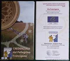
Via Francigena Pilgrim's Credentials
Front and back side of the Via Francigena Pilgrim’s credential (picture shows 2 credentials, I got 3, just in case)

If you have been following my Blog, you will already know I am currently preparing myself for a 2,200 Km (approx.) bike ride, starting from the Canterbury Cathedral on the 30th of July 2016 and finishing in Rome, Italy, on the 1st week of September.

This is a pilgrimage known as Via Francigena  or Via Romea Francigena. In the EuroVelo project this route is the biggest portion of route number 5, which actually starts in London and ends in Brindisi, Italy.

Via Francigena Pilgrim's Credentials
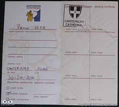
The 1st stamp of many more to come

So, although I am still several weeks away from the start of the Pilgrimage, a friend and I decided to drive to Canterbury last weekend, to do some initial reconnaissance, as I had never been there before. That has also enabled me to get my pilgrim’s credentials (also known as pilgrim’s passport for Camino de Santiago pilgrims) and ride to the Dover Ferry Terminal as I have a per-determined time to arrive there on the 30th of July to catch the ferry to Calais in France.
The video below is the time-lapse of the entire bike ride between Canterbury and Dover, recorded by a GoPro 4 Silver mounted on a handlebar T-Mount (I need to do something to reduce the shaking in that mount).

They say Kent (the region where Canterbury is located) is the garden of England, and it is certainly a beautiful part of the country.
We followed the National Cycle Route 16, which proved not to be the most direct route to Dover and had some challenging hills to climb. Nothing too hard on a bike without any load other than the rider, but considering I’ll be carrying with me about 20 Kg in 4 panniers and on the rack, I had to make sure I know when to leave in order to arrive in Dover on time to catch the ferry,

I will not to an extensive written description of the route as you have the map and the video, but if you have any questions don’t hesitate to get in touch through the contact form.

I’ve also created a Flickr album to store all the pictures I’ve taken along the way. Feel free to browse the pictures below or click on them to see them in higher resolution in Flickr.

If you like this post, please share and subscribe.

Thank you for your time.

Flickr Album with pictures of the day.

Please rate this post by clicking on the desired star (1 = Awful, 5 = Excellent)
[Total: 6 Average: 4.8]

EyeCycled Bike Vlog: Via Francigena

Hello!! Missed me?

Logo Via Francigena
Logo Via Francigena

It is not that I haven’t recorded a Bike Vlog every week in the past 3 weeks… I did record them! Watch the Vlog and I explain my sudden disappearance.

This Vlog was recorded 2 weeks ago (Friday, the 29th of April), but I had some personal issues and had no time to work on the video editing.

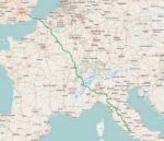
Via Francigena Map
Via Francigena Map

So, I hope you can forgive me for not showing up in the past few weeks, as I will assume that if you are here is because you like to watch this old man talking (my children were actually relieved as they think I am making a fool of myself 🙂 )

Click here for the Via Francigena event on the EyeCycled Facebook Page.

Thanks for watching!

Please rate this post by clicking on the desired star (1 = Awful, 5 = Excellent)
[Total: 4 Average: 4.8]

Via Francigena... Exciting news.

Hello folks!
Sorry for my sudden disappearance. It’s been quite busy on my professional and personal life right now, so haven’t had much time to dedicate myself to posting on EyeCycled.com during these past 2 weeks nor ride my bike. Still working on the posts and videos of the Devon Coast to Coast bike ride, though (rather slowly though).
Got some good news to share… The Via Francigena project is confirmed!
My request for an extended holiday leave has been approved by the company and I am booking my return flight from Rome this week.
I’ll be leaving the UK from the Canterbury Cathedral on Saturday the 30th of July and will have to arrive in Rome on the 8th of September, at the latest, to catch my flight back from Rome to the UK on the 9th.
This is a very exciting development for me and will be the longest bike ride of my life. I will have to do an average of 54 Km a day to cover the almost 2,200 Km from Canterbury to Rome, but I think it can be done and I am really looking forward to it.
Thank you for your support and stay tuned for more details.
The official site of the Via Francigena is here: http://www.viefrancigene.org/en/
Please rate this post by clicking on the desired star (1 = Awful, 5 = Excellent)
[Total: 1 Average: 4]

Camino de Santiago, Day 8: León to Astorga

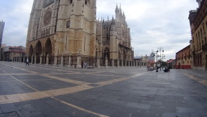
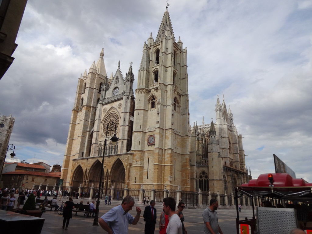
León's impressive Cathedral
León’s impressive Cathedral

Welcome to the DAY 8 post of my Camino de Santiago Pilgrimage by bike which happened on the 1st of June 2015. I did his stage of 50 Km or 31 miles from León to Astorga in 4h and 35m, of which 3h 22m were of actual moving time.

I left the hostel at 8:01am that morning and first rode to the Cathedral. I didn´t really need to go there, but I felt compelled to take one last look at the Cathedral. As I arrived I saw a cyclist’s couple looking at a map and when I approached them I recognised they were also from Brazil.

Leon Cathedral at 10 past 8 in the morning.

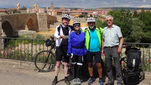
Marcelo and Alice are from a city in Brazil called Recife, the capital of the state of Pernambuco, and were also doing the Camino de Santiago. We talked for a few minutes and left together to try to find our way out of town.

5 Star Hotel Parador in León, for Pilgrims with a lot of cash.

Little did I know at that time that we would later arrive in Santiago de Compostela together. Our friendship started at that point and continues to this day thanks to social media and the internet.

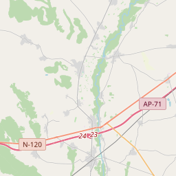
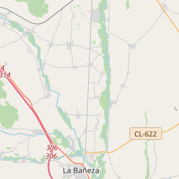
León is a reasonably large city and it took us about 1h and 20 min to reach La Virgen del Camino, which still belongs to León’s metropolitan area and is very close to León’s airport. We stopped at a place called Cafeteria Miravalles for Breakfast and 50 min later jumped back onto our bikes again and continued to ride on the already familiar N-120. We rode on the N-120 all the way to Astorga this day.

This Pilgrim slept with the birds.

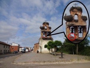
As we arrived in the village of Valverde de la Virgen we saw something interesting. Spain is filled with old bell towers (for the lack of a better name). In many of them you will find White Stork’s nests. In this particular one a pilgrim decided to stay overnight and slept with the birds.

Stork's Nest in Hospital de Órbigo.
Stork’s Nest in Hospital de Órbigo.

Some pilgrims actually camp throughout the entire pilgrimage, especially those with animals, and don´t stay at hostels, like most do. I don’t know if this was the case for that pilgrim, but I thought he had chosen a very interesting place to sleep, if he managed to get any sleep at all, that is.

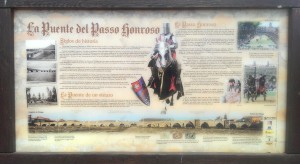
The bridge of the honoured step (La Puente del Passo Honroso), Hospital de Órbigo
The honourable step bridge (La Puente del Passo Honroso), Hospital de Órbigo

After Valverde de la Virgen we crossed through the villages of San Miguel del Camino, Villadangos del Paramo and San Martín del Camino until we arrived at yet another landmark of the Camino:

Medieval Bridge over the River Órbigo.

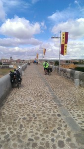
The 13th century medieval stone bridge over the river

Órbigo in the small town of Hospital de Órbigo, which owes its name to the old pilgrim’s hospital that once stud in that place. The bridge appears to be way too big for the river, but before the construction of the reservoir Barrios de Luna, the river had a great flow.

It has 19 arches and is fairly well preserved.

Bridge over the River Órbigo (the Honourable Step Bridge)

We did a small pit-stop right after the bridge for some rest and water and moved on back on the N-120. The rest of the way to Astorga was relatively uneventful.

Astorga's Municipal Hostel
Astorga’s Municipal Hostel

As we arrived in Astorga Marcelo and Alice decided to stay in the Municipal Hostel straight away and I went to the town centre to find Fernando, as we had agreed to meet there and ride together the next day. Once I found Fernando we went back the municipal hostel and stayed in the same floor Marcelo and Alice were staying.

I do recommend this hostel. The overnight is 5€ and it’s clean and well organized. Most rooms have only 2 bunk beds (or 4 beds) and we shared the room with 2 pilgrims from Germany.

Town hall of Astorga

Be prepared for walking up quite a few stairs if you, like us, stay on the upper floor (the bikes stay in the basement). The view from our room was great though. The hostel had a fully fitted kitchen and a laundry with a drying area outside on the rear garden.

Astorga's Cathedral
Astorga’s Cathedral

After a shower we left the hostel to explore the town. Astorga is great place, with an especially interesting architecture. I know I wrote this before, but although the town is small it feels big and welcoming and has a very long history as it pre-dates León by 875 years. According to Wikipedia, artefacts dated 2750 BC were found in the area of Astorga. The local Celtic people, known as the Astures and the Cantabri, inhabited the area around 275 BC, which later in 146 BC became one of the Roman strongholds in the region called Asturica.

Episcopal Palace of Astorga

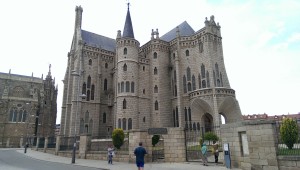
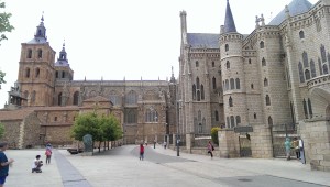
As in many Spanish towns Astorga has a great Cathedral, but it also has the Episcopal Palace of Astorga, which was a building designed and partially built by Gaudi, the same architect who design the famous Sagrada Familia Cathedral in Barcelona. The building now houses a museum of religious art called “Museo de los Caminos”, dedicated to the Camino de Santiago.

Cathedral and Epicopal Palace of Astorga
Cathedral and Episcopal Palace of Astorga

As we were exploring the town, the 4 of us, Fernando, Marcelo, Alice and me, decided not to eat in a restaurant that night, but to buy food in the local market and cook it in the hostel’s kitchen. Marcelo is the chef and owner of several well-known restaurants in his home city and, obviously an excellent cook. We had a great time preparing and enjoying the food that evening, together with the other Pilgrims there, all accompanied by good Galician wine.

Well, that’s it for day 8. Please feel free to leave comments, questions or at least indicate if you liked it or not by clicking on the stars in the bottom of the post.

Thank you!

<< Previous day                                                                                        Next day >>

Please rate this post by clicking on the desired star (1 = Awful, 5 = Excellent)
[Total: 9 Average: 4.3]

Camino de Santiago, Day 7: Calzadilla de la Cueza to León

Municipal Hostel in Calzadilla de la Cueza

Welcome to the DAY 7 post of my Camino de Santiago Pilgrimage by bike which happened on the 31st of May 2015. I did his stage of 81 Km or 50.33 miles from the tiny village of Calzadilla de la Cueza to León in 6h and 24m, of which 5h 16m were of moving time.

I left the hostel that morning just after 8:00am as usual. The first 18 Km on the familiar N-120 were reasonably uneventful. Passed by small villages and towns such as Ledigos, Terradillos de los Templarios, San Nicolas del Real Camino at a reasonably good pace. Just before Sahagún, however, I’ve made a mistake which I am still puzzled how I could have made.

About 2 Km from Sahagún. Immediately after crossing the river Valderaduey.
On the N-120, about 2 Km from Sahagún. Immediately after crossing the river Valderaduey.

As I was approaching Sahagún on the N-120, just after crossing the river Valderaduey, I saw one of the typical yellow arrows that guide the walking pilgrims and decided to leave the road and take the pilgrim’s route.

Stone bridge leading to the Ermita de la Virgen del Puente. Can you see the clear yellow signs?
Stone bridge leading to the Ermita de la Virgen del Puente. Can you see the clear yellow signs pointing to the chapel?

Few meters later I came to a small bridge over a creek and there was again a clear yellow sign pointing towards a small chapel passed the bridge, the “Ermita de la Virgen del Puente“. I don’t really understand what led me to ignore the sign and just continue straight ahead. That mistake cost me 35 min and an additional 7.28 Km to what could have been about 2 Km had I continued on the N-120.

A mistake with a nice view.
A mistake with a nice view. Beautiful poppie fields along the way.

Proves that if you just let your thoughts wander too much while on a pilgrimage and don’t pay attention where you are going you will pay for it physically later. There is no mistake, however, that cannot be corrected, so once I realized I was heading the wrong way I took the LE-6707 and rode back to Sahagún. As I crossed under the N-120, there was no point of entry back onto the main road, so I had to ride into the outskirts of Sahagún to get back to the N-120. This was by far not the biggest mistake I´ve made (more on that in later posts), but it got me very pissed anyway. So, if you download the GPX file with the intention of using it to guide you in your pilgrimage, please make a mental note that as you reach the river Valderaduey you should just continue on the N-120 and you will be fine. If you are walking I recommend you follow the yellow signs to avoid the roads.

Via Trajana. Pilgrim's resting place amongst the trees to the right.
Via Trajana. Pilgrim’s resting place amongst the trees to the right.

About 5 Km after I re-joined the N-120, I left it towards Calzada del Coto, crossing through this little village to take a dirt road identified in Google Maps as Via Trajana. There are no ideal road alternatives from that point onwards as the N-120 takes a turn south (and Leon is north) and it is forbidden to cycle or walk in motorways (the A-231 motorway runs parallel to the via Trajana a few Kilometres south). About 9 Km later at around 11am I reached the village of Calzadilla de los Hermanillos and stopped for late breakfast or early lunch, whatever you prefer to call it.

After Calzadilla de los Hermanillos in the direction to Reliegos.

After Calzadilla de los Hermanillos I rode for another 4 Km on tarmac (not very good though) to the point where the road crosses the LE-6620 and then 14 Km on a dirt road all the way to a village called Reliegos.

Dirt road littered with stones.

Those 14 Km were somewhat challenging for me because the sun was hitting me hard and the stones on the path were shaking the bike all the time and making me change tracks from right to left and vice-versa very often. It was in one of these moments that I stopped for a few seconds thinking how much that situation reflected my life (our lives?). We are always looking for the easy way, a way with less stones. I decided then to capture these thoughts in a voice recording, originally with the intention to write about them, but I´ve taken the decision to expose myself a little and share the recording with you. Hope you won´t consider me a fool for doing so. There were several moments in this pilgrimage I felt emotional and this was just one of them.

Wild Poppies on the streets of Reliegos.

After Reliegos, the remaining 24 Km to León were all on good tarmac on the LE-6615 and all pretty flat, but I was feeling tired from all the shaking of the previous 14 Km. It took me just over 2 h to reach León. In León I stayed at the Albergue del Monasterio de las Benedictinas (Carbajalas) which was 5€ a night and was very basic. The hostel is maintained by volunteers and you need the pilgrim credentials to stay. It´s essential one large room with slots of 6 bunk beds on the left separated by thin plastic walls.

Pilgrims's resting place near Mansilla de las Mulas
Pilgrims’s resting place near Mansilla de las Mulas

The hostel is relatively large with 132 beds (66 bunk beds) and the number of bathrooms didn’t seem to be enough. In terms of hygiene it was also not the best in my opinion, but it was OK. If you expect to find a power outlet to charge your electronic devices (phone, etc) good luck. I didn´t find any near to my bed and the place somehow did not inspire in me the confidence to simply leave my gadgets unattended. There is Wi-Fi outside by the reception area, but no Wi-Fi in the room. There is also no lockers or safe places to leave your stuff, but I didn’t have any problems (nothing was missing).

Arrival in León
Arrival in León

I had dinner in the restaurant in the “hospedaria” which opens at 7pm. The pilgrim’s menu was 9€ and the food was OK (not exceptional though).

Pilgrims' Menu
Pilgrims’ Menu

Before dinner I walked around the city centre for about 2h. León is a great place. I felt well there. Very interesting gothic architecture and lots of flowers. I walked around the cathedral, but I did not enter it, as I thought I was not dressed in a respectful manner for that type of venue given the mass was just about to start, but from the outside it looks very impressive in all aspects. I’ll add some pictures of my short walk around town on the bottom of the post. The next video is of the cathedral bells calling the faithful for the mass.

Well, that´s it for day 7. Please feel free to leave comments, questions or at least indicate if you like it or not by clicking on the stars on the bottom of the post. Sometimes I have the feeling I am wasting my time here, but I do enjoy the opportunity to travel back in time, in my mind, and relive all those wonderful moments in the Camino.

Photos of León

Old city wallsOld city walls

Plaza Sta Maria del Camino.Plaza Sta Maria del Camino.

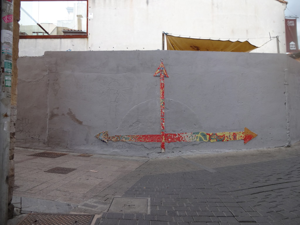
Where to?Where to?

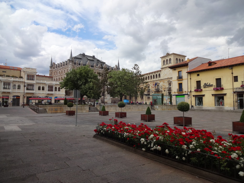
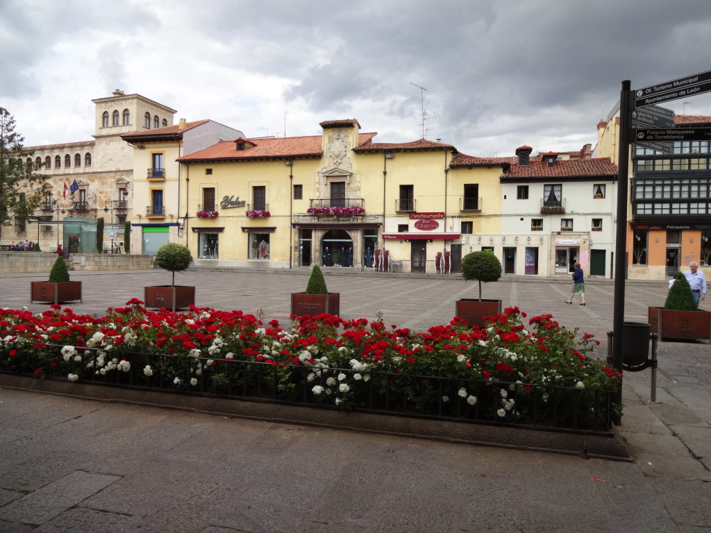
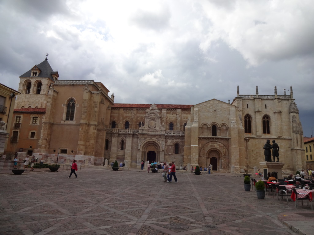
Plaza San MarceloPlaza San Marcelo.

Plaza San Marcelo Plaza San Marcelo.

3D map of León3D map of León.

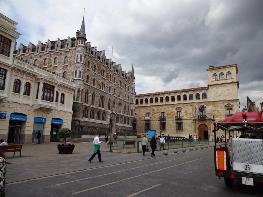
The Botines Building. Designed by Gaudi.The Botines Building. Designed by Gaudi.

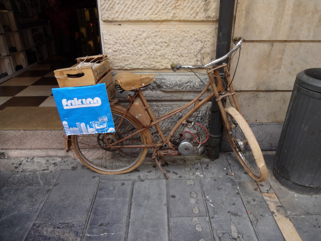
Before e-Bikes there were petrol head bikes.Before e-Bikes there were petrol head bikes.
 
León's impressive CathedralLeón’s impressive Cathedral.
 
10 to 610 to 6.
 
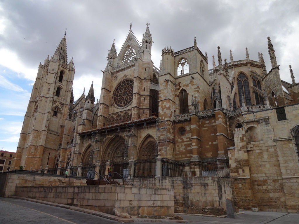
Right side of the CathedralRight side of the Cathedral.
 
 
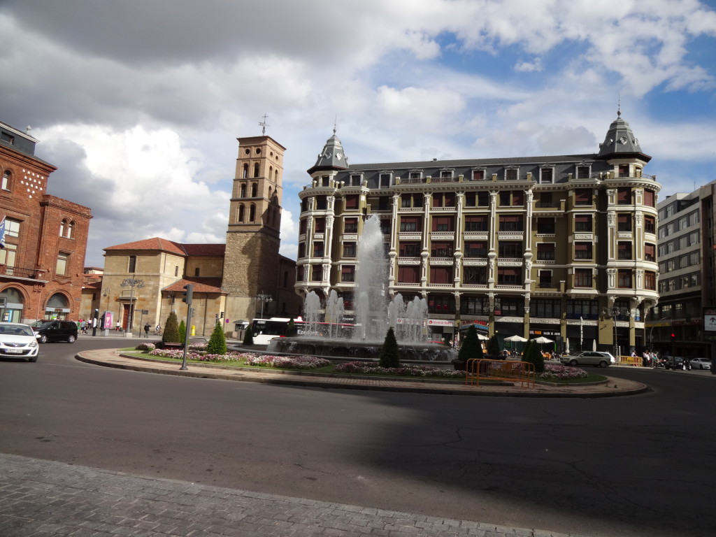
Water Fountain at the Plaza de Santo DomingoWater Fountain at the Plaza de Santo Domingo.
 
CuteCute
 
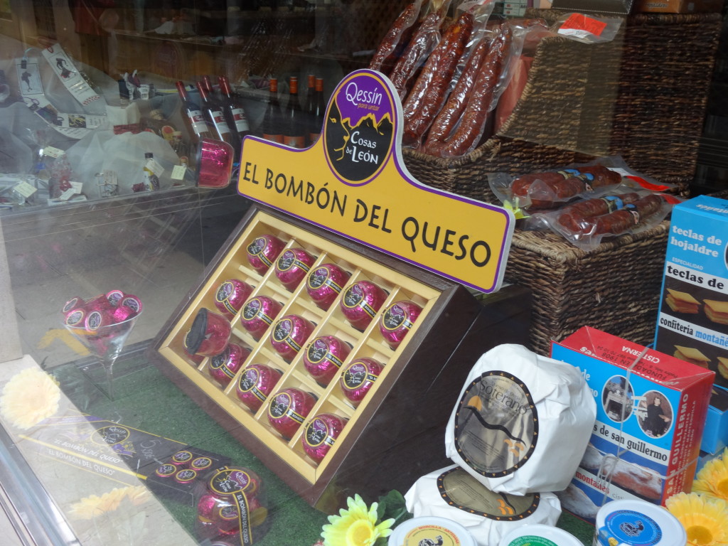
Wonder how they taste Wonder how they taste
 
<< Previous day                                                                                        Next day >>
Please rate this post by clicking on the desired star (1 = Awful, 5 = Excellent)
[Total: 8 Average: 4.4]